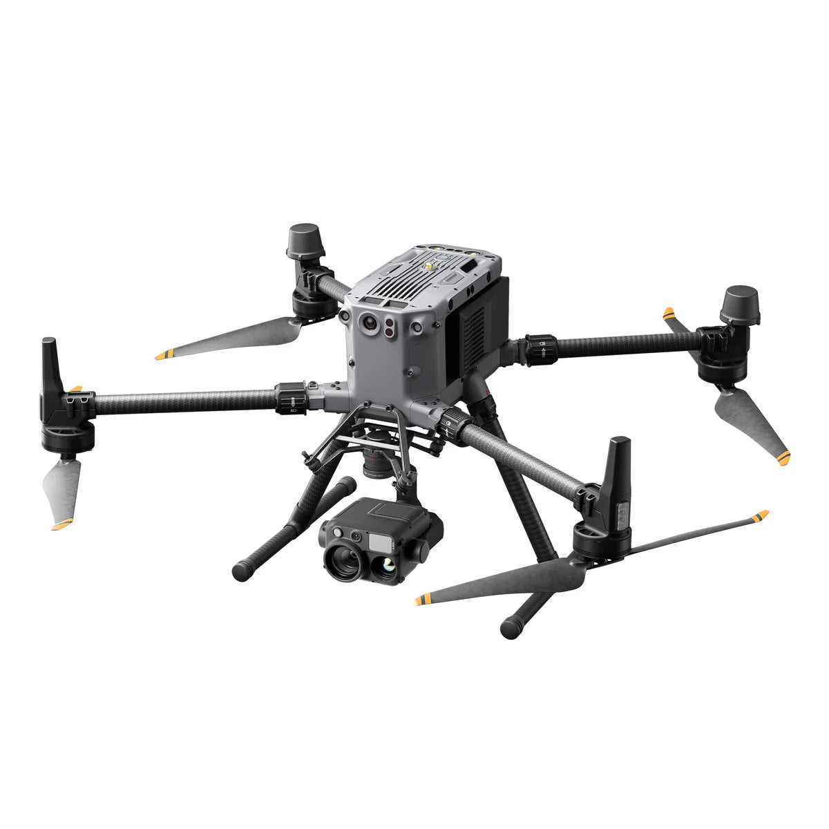
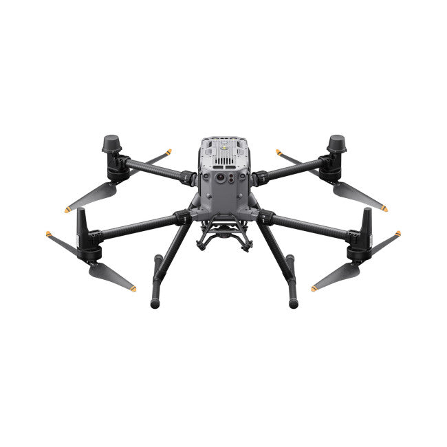
Last month we decided to fly the DJI Mavic 3 Enterprise Series including the RGB (regular enterprise), Mavic 3 Thermal and the Mavic 3M (Multispectral). We also flew a Matrice 30T with RGB and Thermal because we had one available.
These missions were done to more or less test the speed capabilities of each of the drones using the sensors they have built into each system. The accuracies were only checked as far as Pix4d and Drone Deploy could create.
Keep in mind the Thermal and Multispectral data collection process significantly slows down if you use those sensors. The multispectral processed in Pix4d with no calibration panel necessary (built in light sensor). The Thermal processed nicely with Radiometric data in DroneDeploy.
Mavic 3 Enterprise Series & Matrice 30T - Small Area Mapping Comparison
Date of Flight: Mar 21, 2023 - start 11:30am
Weather: 58 degrees, windows approximately 10 mph
Location: China Creek - Centralia, WA
Summary Drones & Missions Compared:
- 745 RGB Images - 1.64cm/pixel
- 2980 Multispectral Images - 2.81cm/pixel
- Estimated Mission time 25 minutes
- RTK Module Installed but not used
- 23.5 Acres
- Data Size: 34.8GB
- 684 RGB Images - 2.17cm/pixel
- 684 Thermal Images - 8cm/pixel
- Estimated Mission time 8 minutes
- 17.5 Acres
- Data Size: 6.73GB
- 283 RGB Images - 1.64cm/pixel
- Estimated Mission time 4 minutes
- 17 Acres
- Data Size: 4.01GB
- 615 RGB Images - 2.17 cm/pixel
- 615 Thermal Images - 8 cm/pixel
- Estimated Mission time 22 minutes
- 19 Acres
- Data Size: 9.47GB
You can always check out this earlier video on Mapping with the M30T.
Mission Settings
- 70% side overlap
- 80% front overlap
- Timed Interval Capture
- 200ft ATO
- Speed: Max Possible
Mission Notes:
- The areas are all a little different, I did not take the time to just use one KML file and load it to all devices
- I flew on a Tuesday Morning and despite having everything updated on Monday, in the field the remote for the M3T needed a firmware update, the remote and aircraft for the M3E needed an update and the Matrice 30T needed a firmware update.
- There were lots of rolling clouds and sun bursts.
- NO Base Station was used
- The Mavic 3 Series uses the DJI RC Pro Enterprise while the M30T uses the DJI RC Plus (larger screen and other features)
- This is not all encompassing but should give you an idea about the capabilities of each drone.
Mavic 3 Multispectral - RGB & Multispectral Collected

Mavic 3 Thermal - RGB & Thermal Collected


Mavic 3 Enterprise - RGB Collected
While the mission parameters had the GSD at 1.61cm/pixel the turnout was slightly higher in Pix4d.

Matrice 30T - RGB & Thermal Collected


