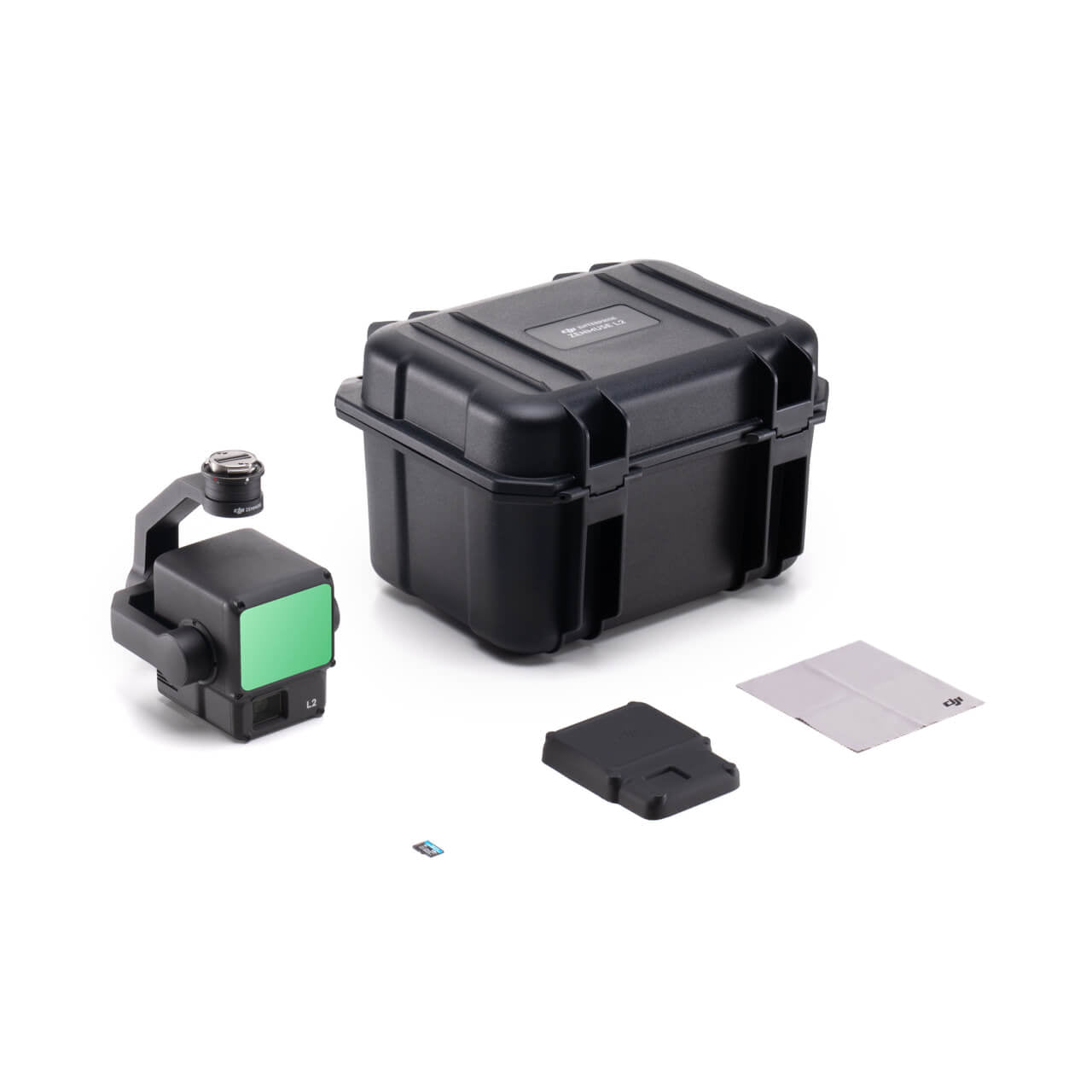
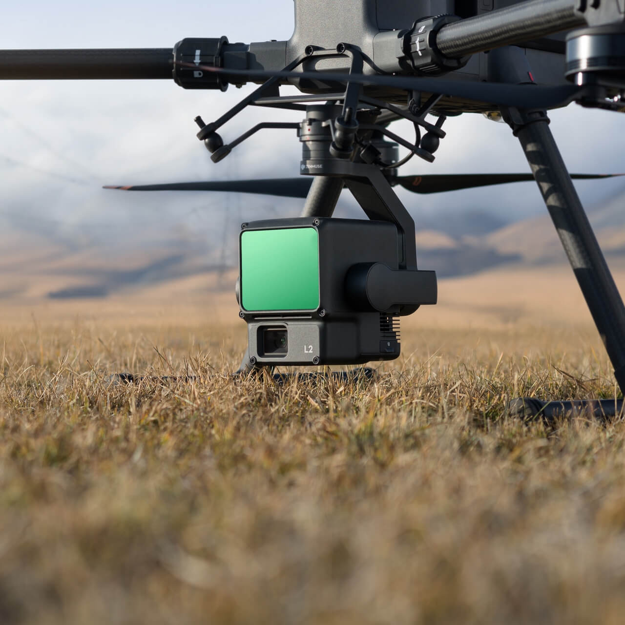
Compatible with Matrice 350 + DJI RC Plus and Matrice 300 + DJI RC Plus (must have RC Plus Controller)
High-Precision Aerial LiDAR System
Powerful Range, Elevated Precision
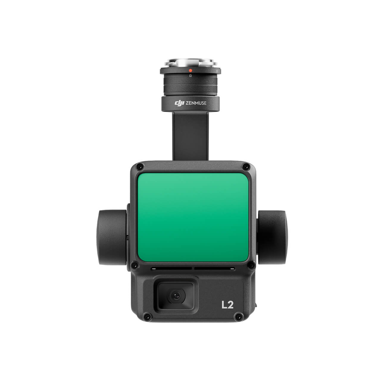
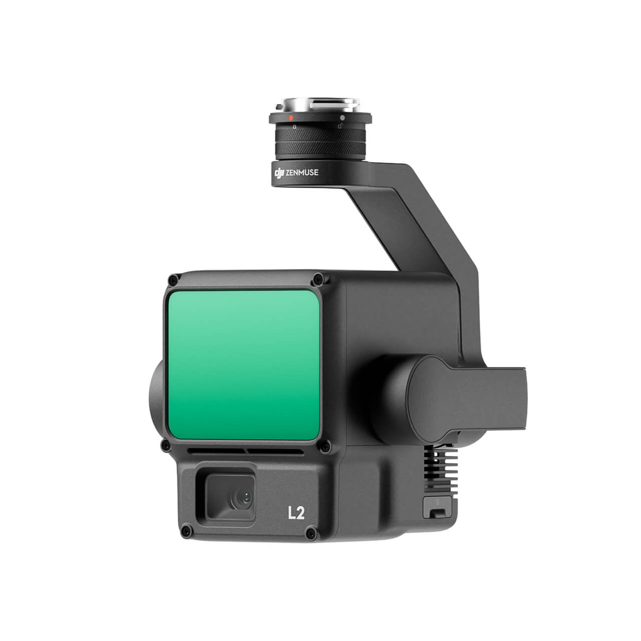
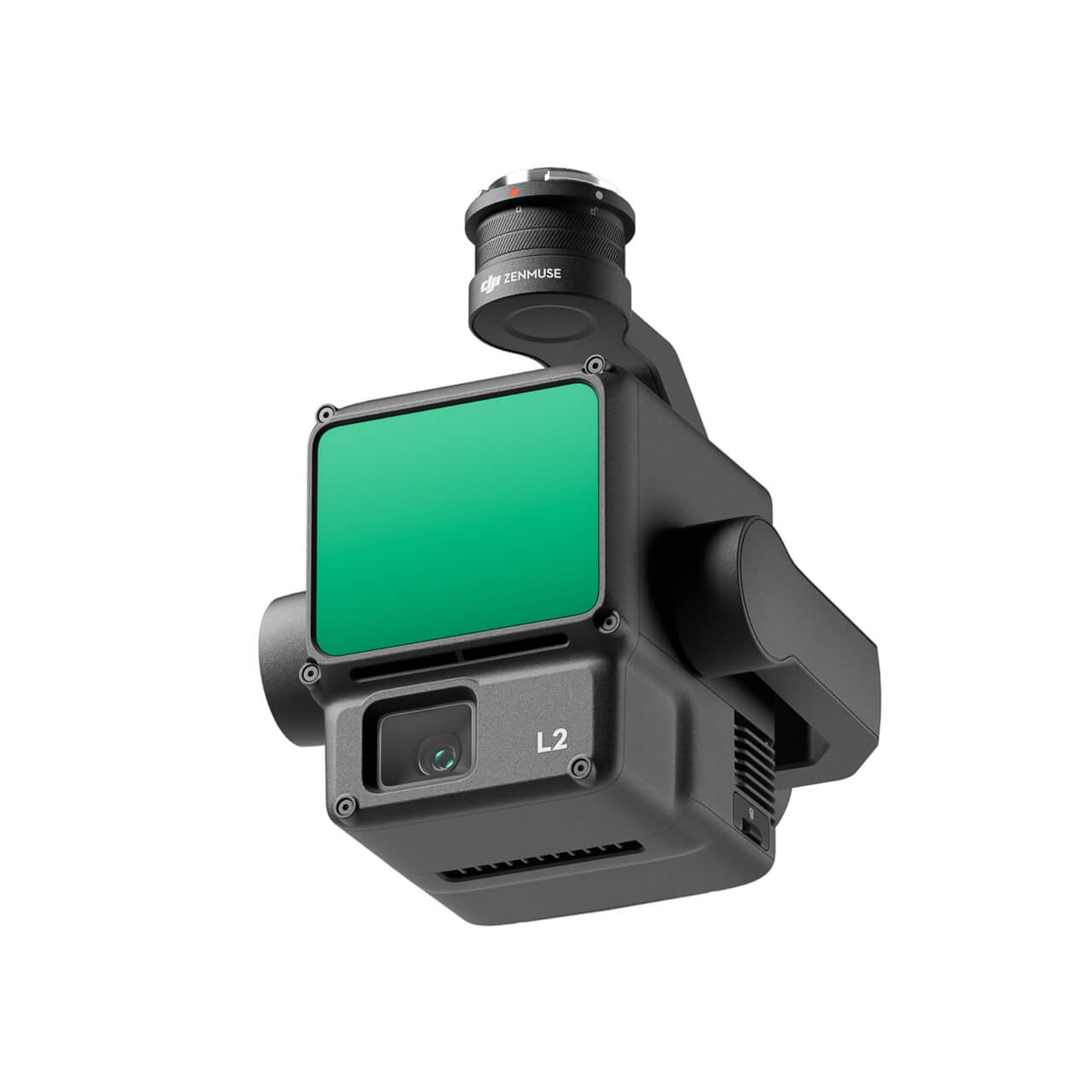
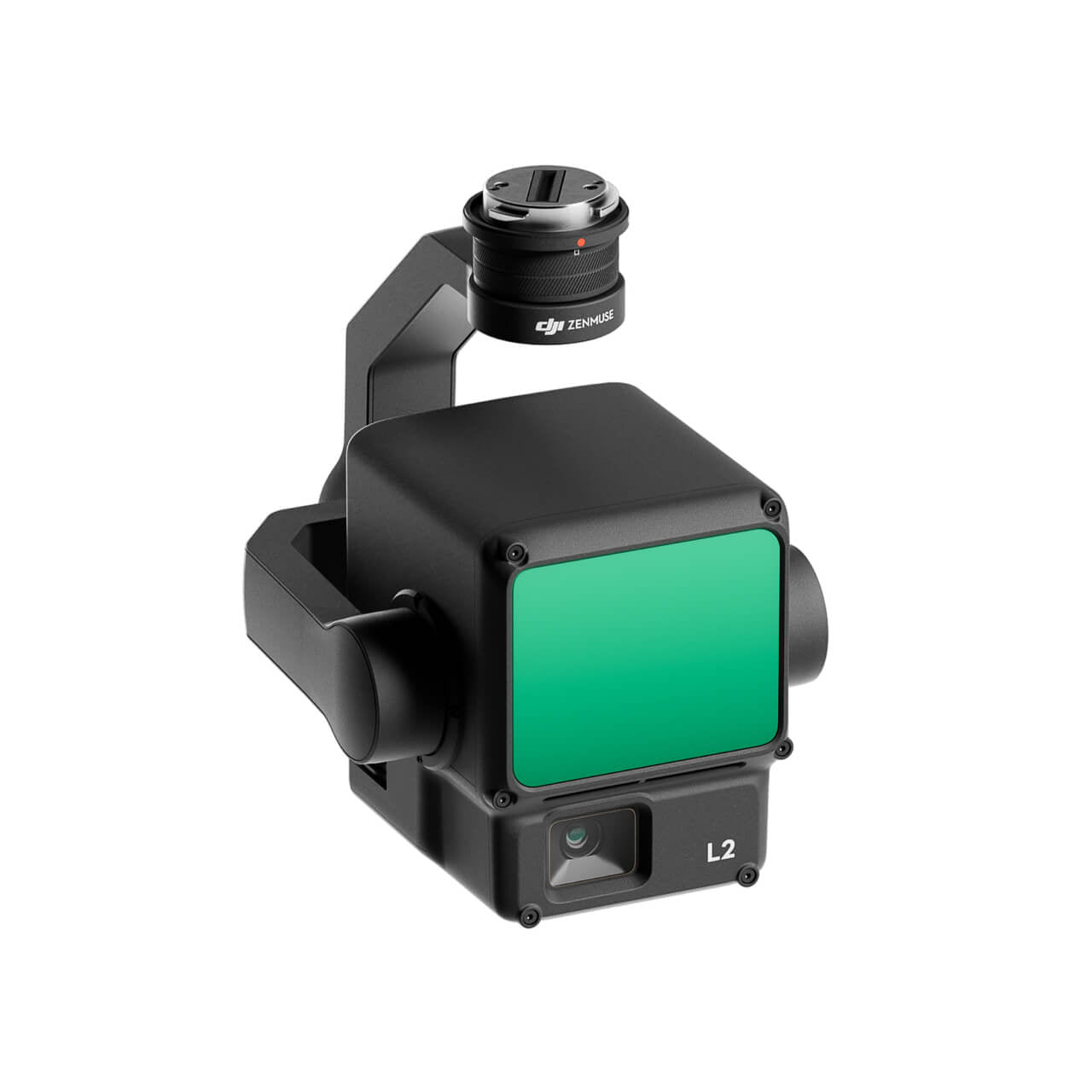
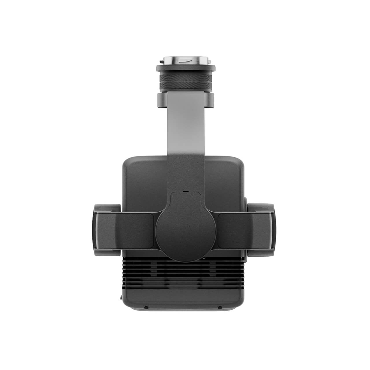
Zenmuse L2 integrates frame LiDAR, a self-developed high-accuracy IMU system, and a 4/3 CMOS RGB mapping camera, providing DJI flight platforms with more precise, efficient, and reliable geospatial data acquisition. When used with DJI Terra, it delivers a turnkey solution for 3D data collection and high-accuracy post-processing.
Integrated LiDAR Solution
Supported by its powerful hardware, L2 can allow for a precise scan of complex subjects within an extended range and faster point cloud acquisition. During operations, users can preview, playback, and process point cloud models on-site, with Task Quality Reports generated by DJI Terra, offering a simple, one-stop solution to improve overall efficiency. This enables users to achieve high-precision point cloud results with one-stop post-processing.
Frame-Based LiDAR
30% Detection Range Increase [5]
L2 can detect from 250 meters at 10% reflectivity and 100 klx, [3] and up to 450 meters at 50% reflectivity and 0 klx. [3] The typical operational altitude now extends up to 120 meters, notably enhancing operational safety and efficiency.
Smaller Laser Spots, Denser Point Clouds
With a reduced spot size of 4×12 cm @100m, only a fifth of that of L1, L2 not only detects smaller objects with more details, but can also penetrate denser vegetation, generating more accurate digital elevation models (DEM).
Supports 5 Returns
In densely vegetated areas, L2 can capture more ground points beneath the foliage.
Effective Point Cloud Rate: 240,000 pts/s
In both single and multiple return modes, L2 can reach a max point cloud emission rate of 240,000 points per second, allowing the acquisition of more point cloud data in a given time frame.
Two Scanning Modes
L2 supports two scanning modes, offering flexibility for users based on their task demands. In repetitive scanning mode, L2's LiDAR can achieve more uniform and accurate point clouds while meeting high-precision mapping requirements. In non-repetitive scanning mode, it offers deeper penetration for more structural information, making it suitable for power line inspection, forestry surveying, and other scenarios.
Frame-based Design
The frame-based design results in an effective point cloud data rate of up to 100%. Together with a three-axis gimbal, it brings more possibilities to surveying scenarios.
Enterprise Care Plus
With a coverage limit equivalent to the product's value, an unlimited number of free repairs can be offered within one year after the product is activated.
Our on-line store is open 24/7 and we ship Monday through Thursday, excluding some holidays. Orders received for products without shipping restrictions on its product page will ship the same business day when received before 12:00 p.m. PST. Orders in high demand will have an estimated time listed on its product page and will ship according to the date listed.
Signature is required for most shipments.
*How long does it take for you to ship a product?*
This depends on your location, the method of shipping and the item you choose.
For in stock items inside the USA we typically ship by UPS and FedEx and for small items we ship by USPS. We typically ship items within 1-2 business days of the order for in stock shipment.
Ground Shipments can take up to 5 Business days from our Washington location. Express options are available by contacting us, but UPS and FedEx do NOT guarantee any shipments at this time.
If there are lithium batteries (most drones & ROVS), these cannot be shipped express.
USPS typically takes 2-3 business days for the smaller items by priority mail.
Special Order items can take time to arrive, but once they arrive we ship them out right away.
SHIPPING NOTES:
- Orders under $50 = $25 Ground Shipping & Handling
- Orders $50-499.99 = $20 Ground Shipping & Handling
- Orders $500 or higher = FREE Ground Shipping & Handling (USA Only)
- Alaska & Hawaii have unique shipping starting at $75
- Contact us for Express Shipping Options
- DHL & UPS Available for International Orders*
*International shipments are typically sent by DHL or UPS. Please note you are responsible for any customs fee, taxes and brokerage fees that may be due by importing an item into your country.
Frequently Asked Questions
Do we offer Financing? The short answer is YES we do!
To determine the best financing option, we need to determine if you are interested in a personal financing option or if you will be using a business to finance your purchase.
 BUSINESS OPTIONS:
We work with 2 different companies for financing. Each Organization has their own criteria for purchases. These Financing options are for US customers only.
-
BNC Financial
Specializes in equipment funding from $500 and up. Follow this link to to the the financing application. -
First Pacific Funding
Financing options from $5000 and up. Follow this link to go to the financing application. - APPROVE Commercial Financing. Add an item to your cart, then click on the APPROVE logo for an inline application on the right hand of your screen. Monthly Payments and rates vary depending on final terms.
https://financing.approvepayments.com/blue-skies-drone-shop
 PERSONAL OPTIONS:
- Affirm
Buy now, pay later without the fees. Affirm is the smartest way to pay over time. Shop pretty much anywhere and pay at your own pace without any fees, so you can get the things you love without breaking your budget.
Affirm is built into our website. Click on the product you are interested in purchasing, then click on the 'Pre-qualify now' link.
Click Here to see the details on how it works -
Shop Pay
This payment option works similar to Affirm. If you do not see the shop pay option on the product page, click on "More payment options.
The Look for the button.

