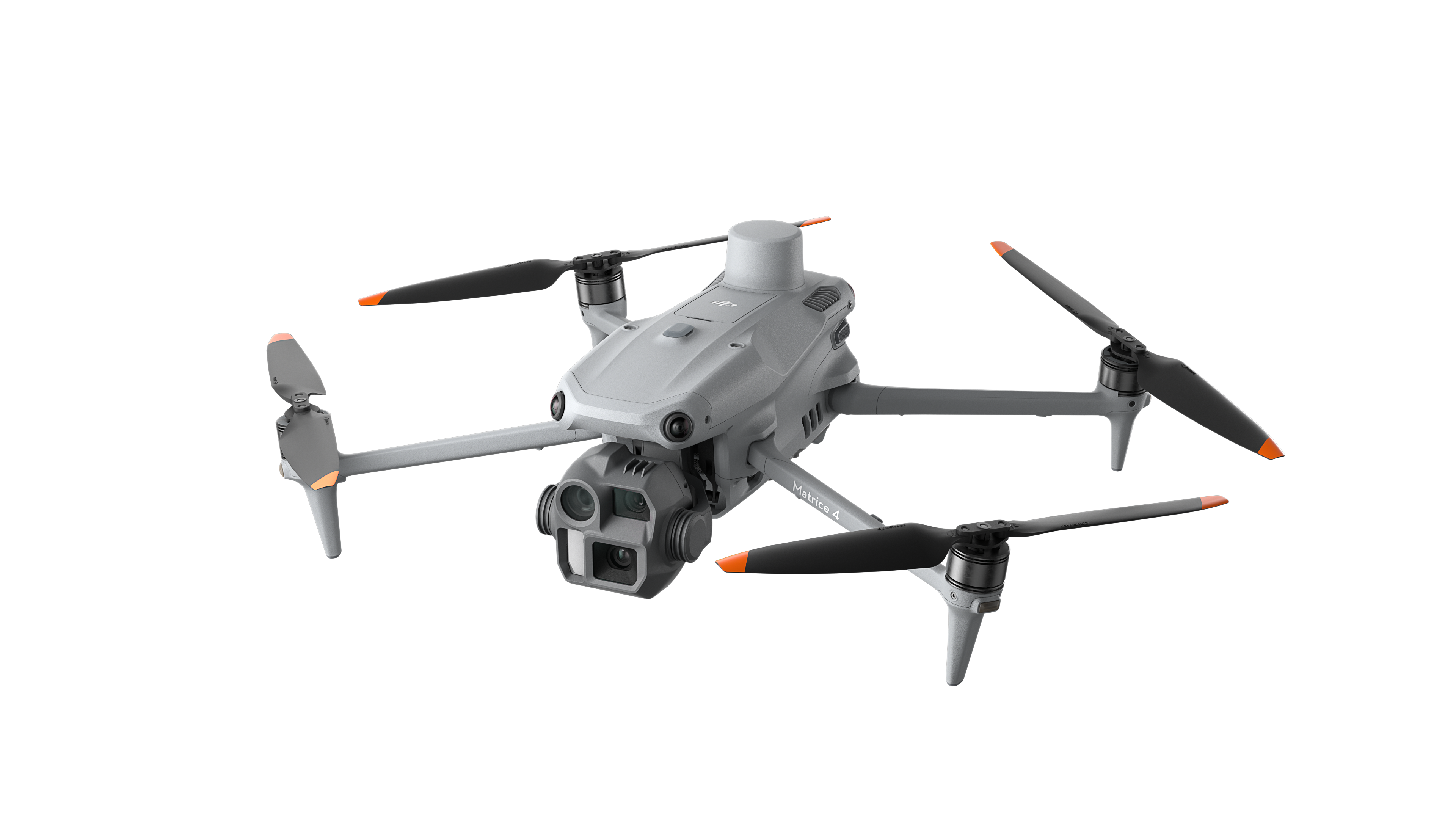
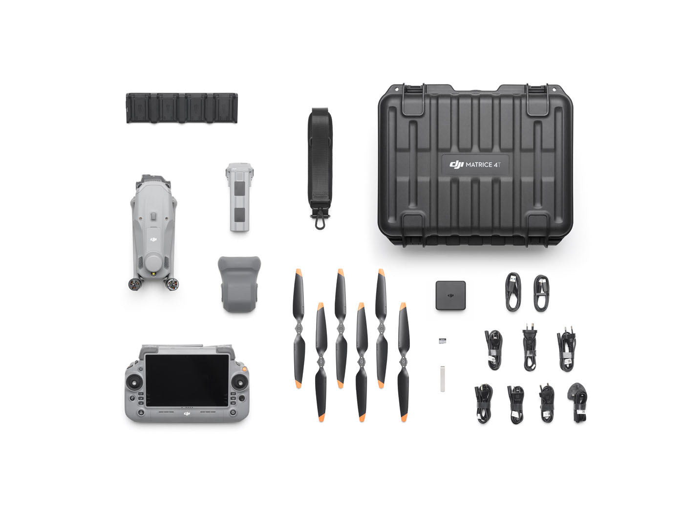
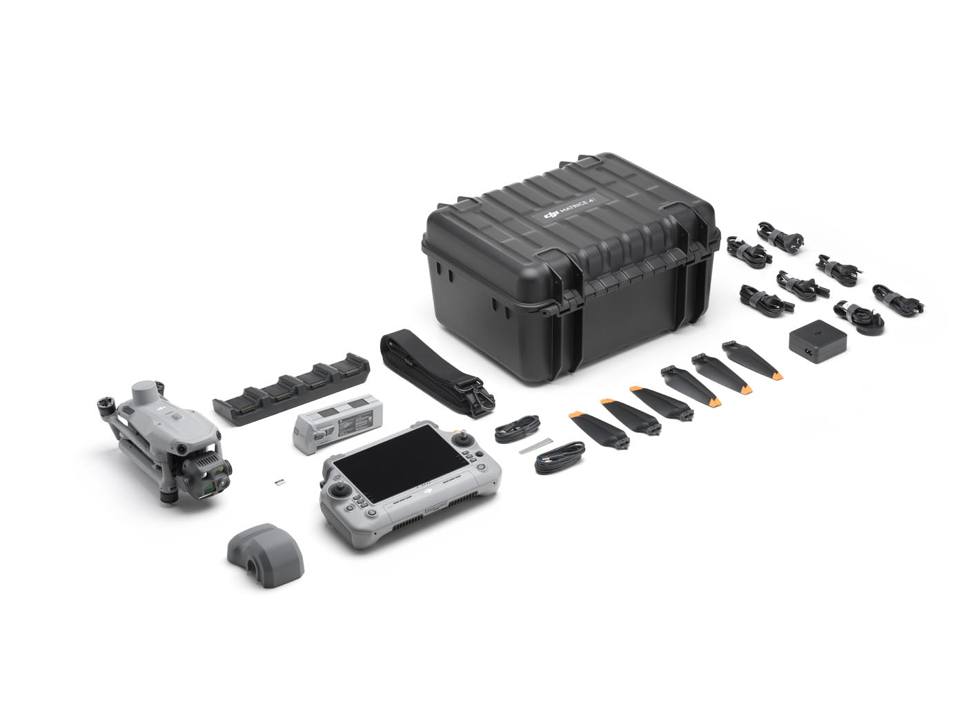
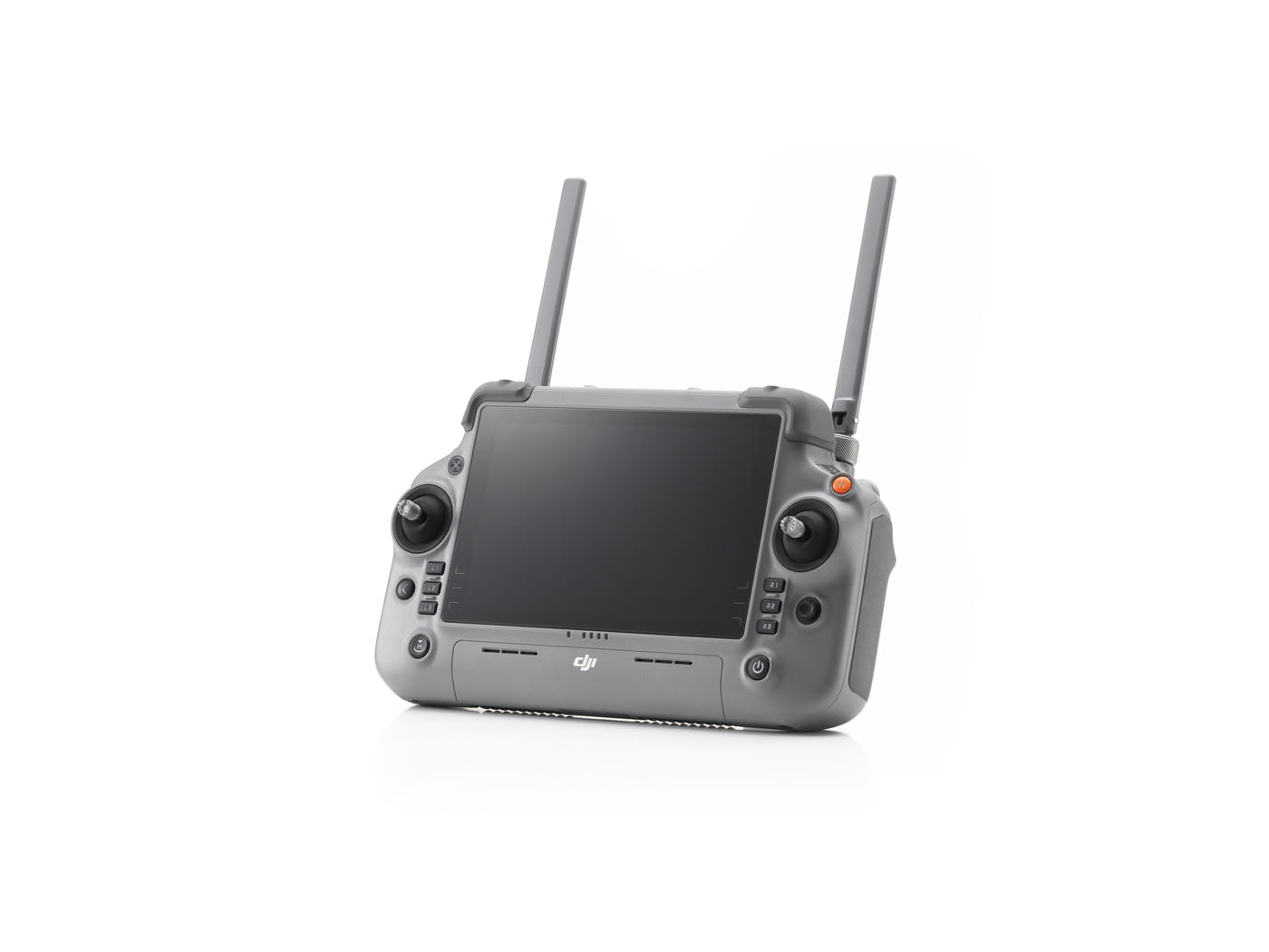
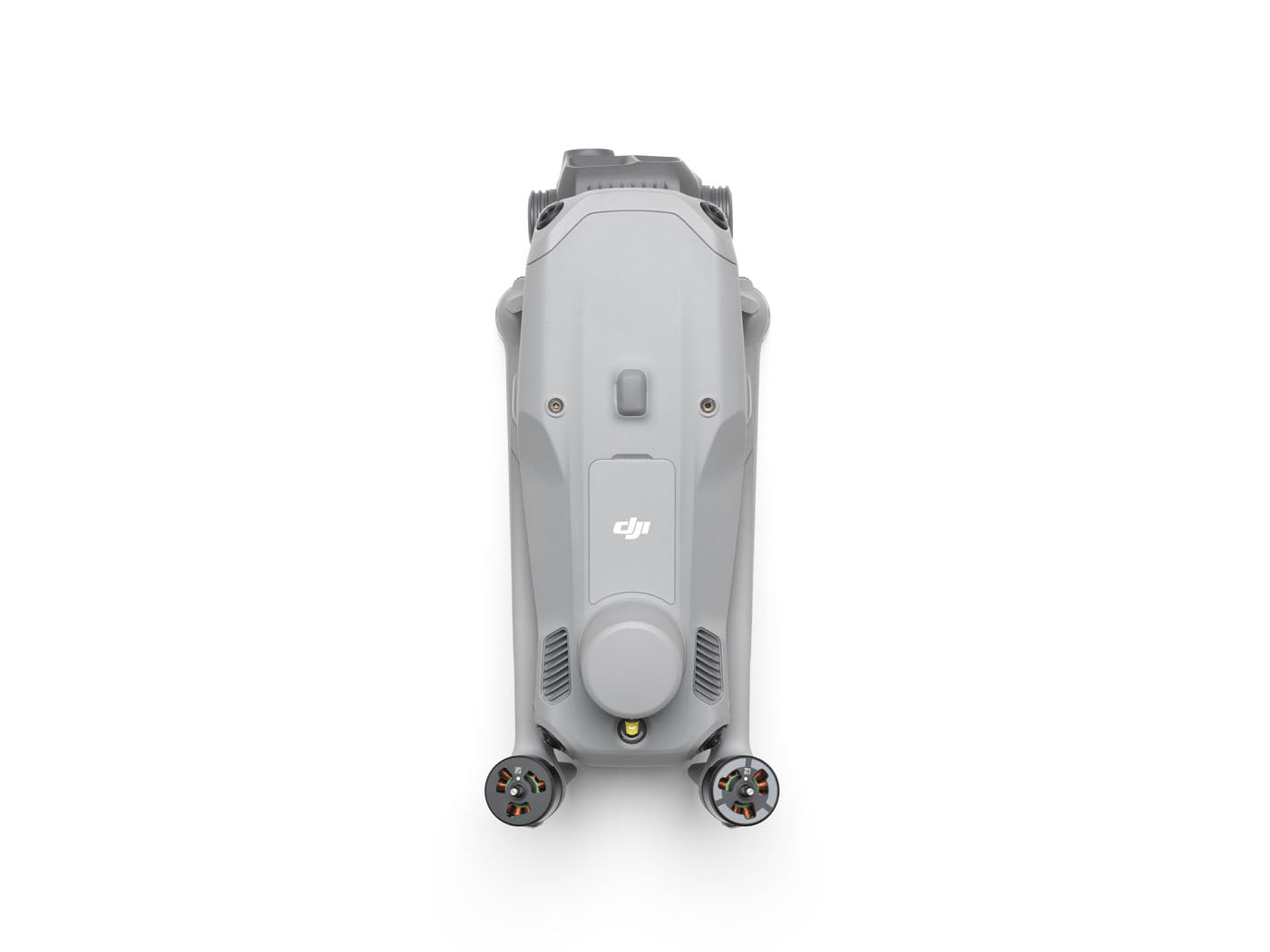
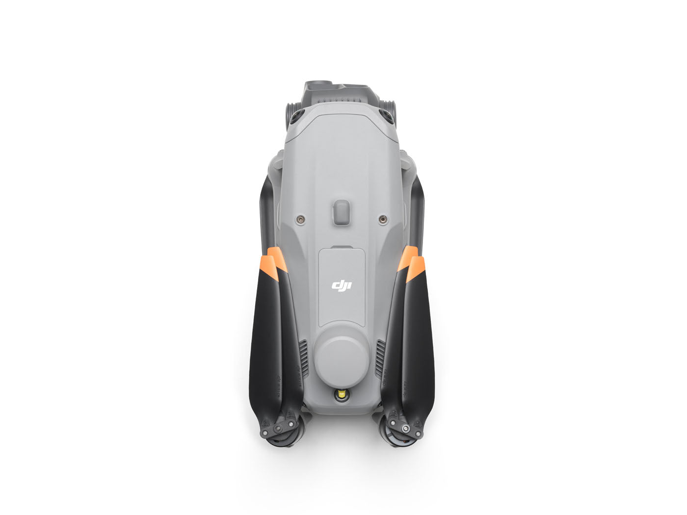
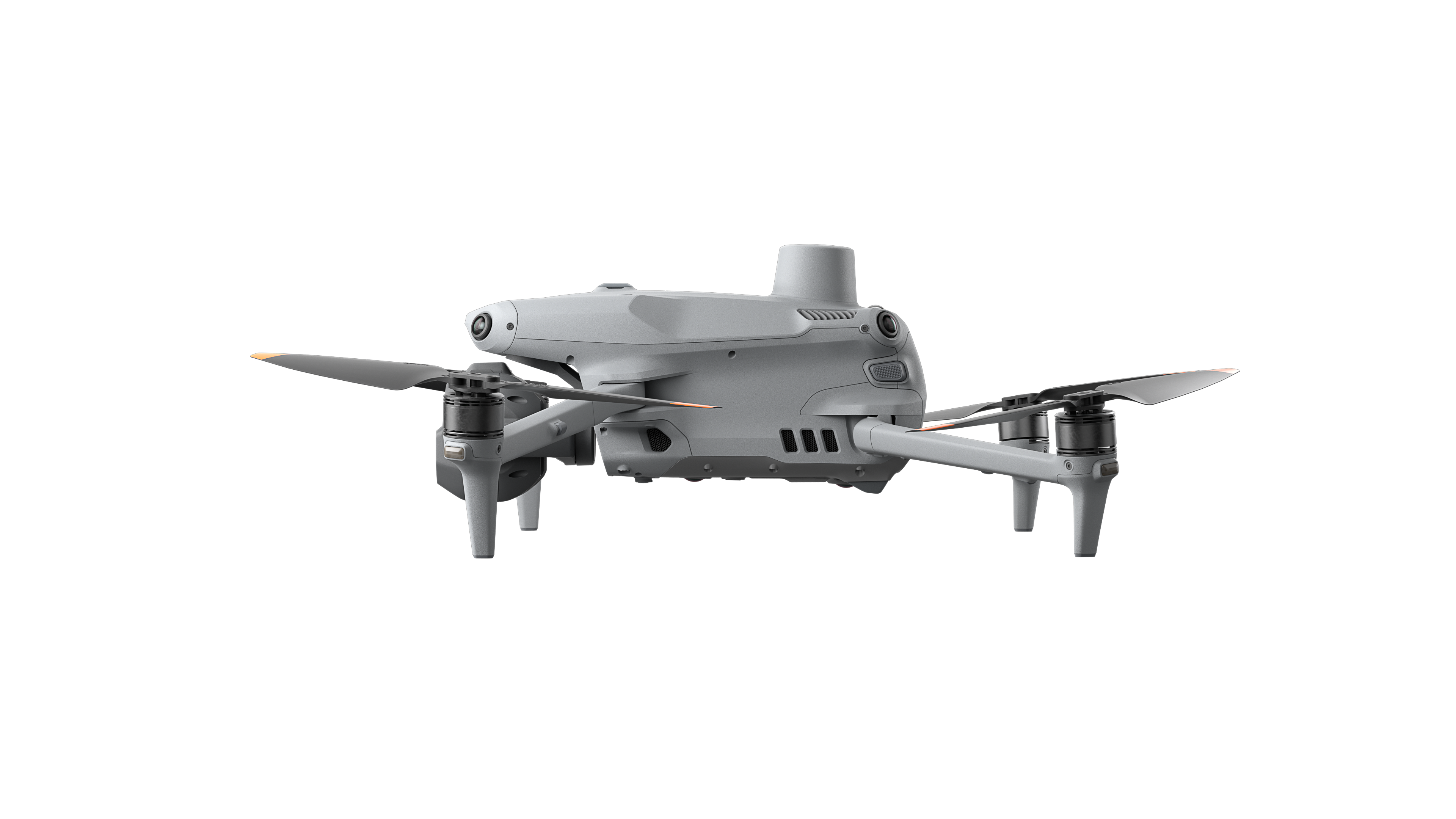
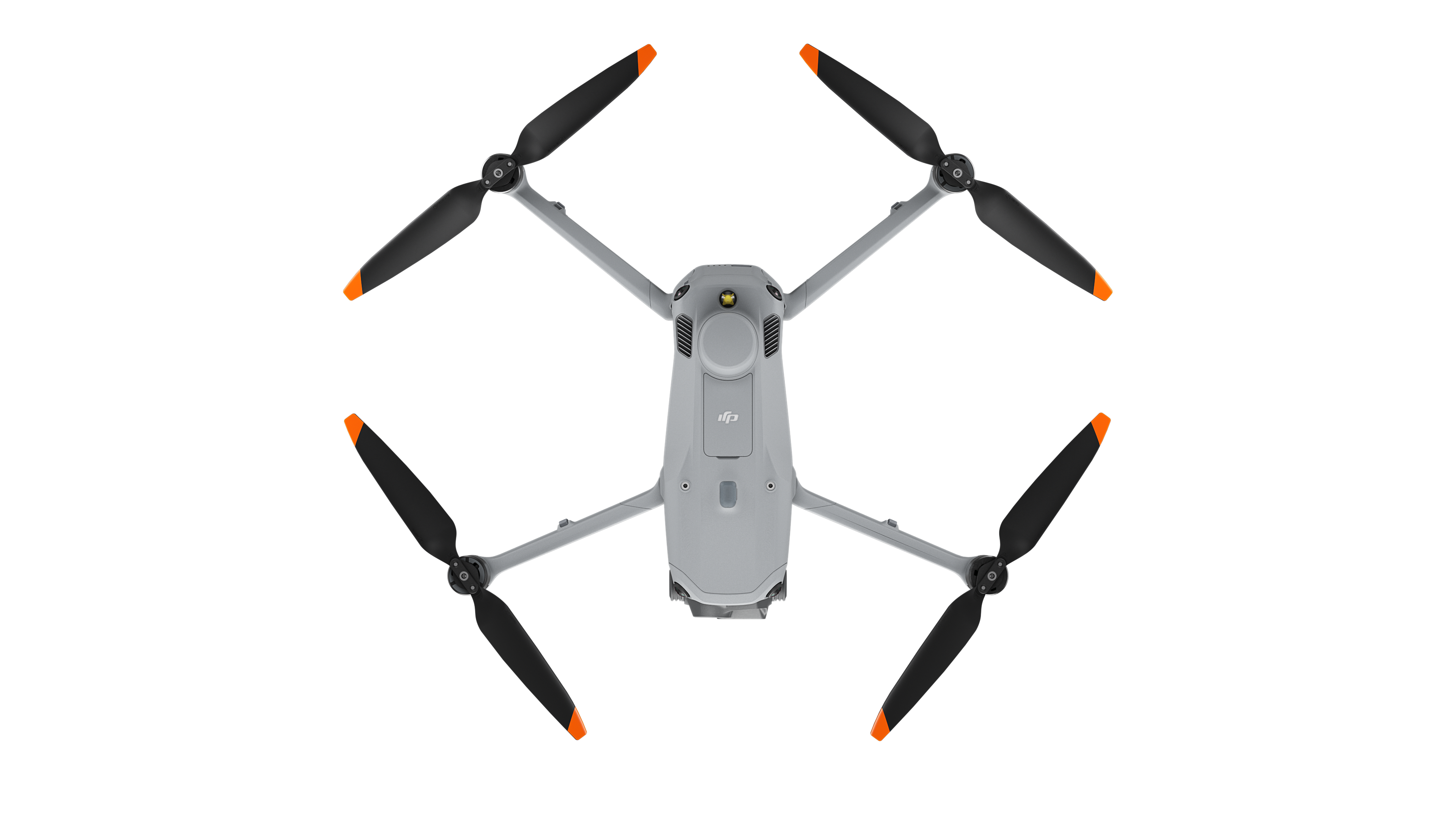
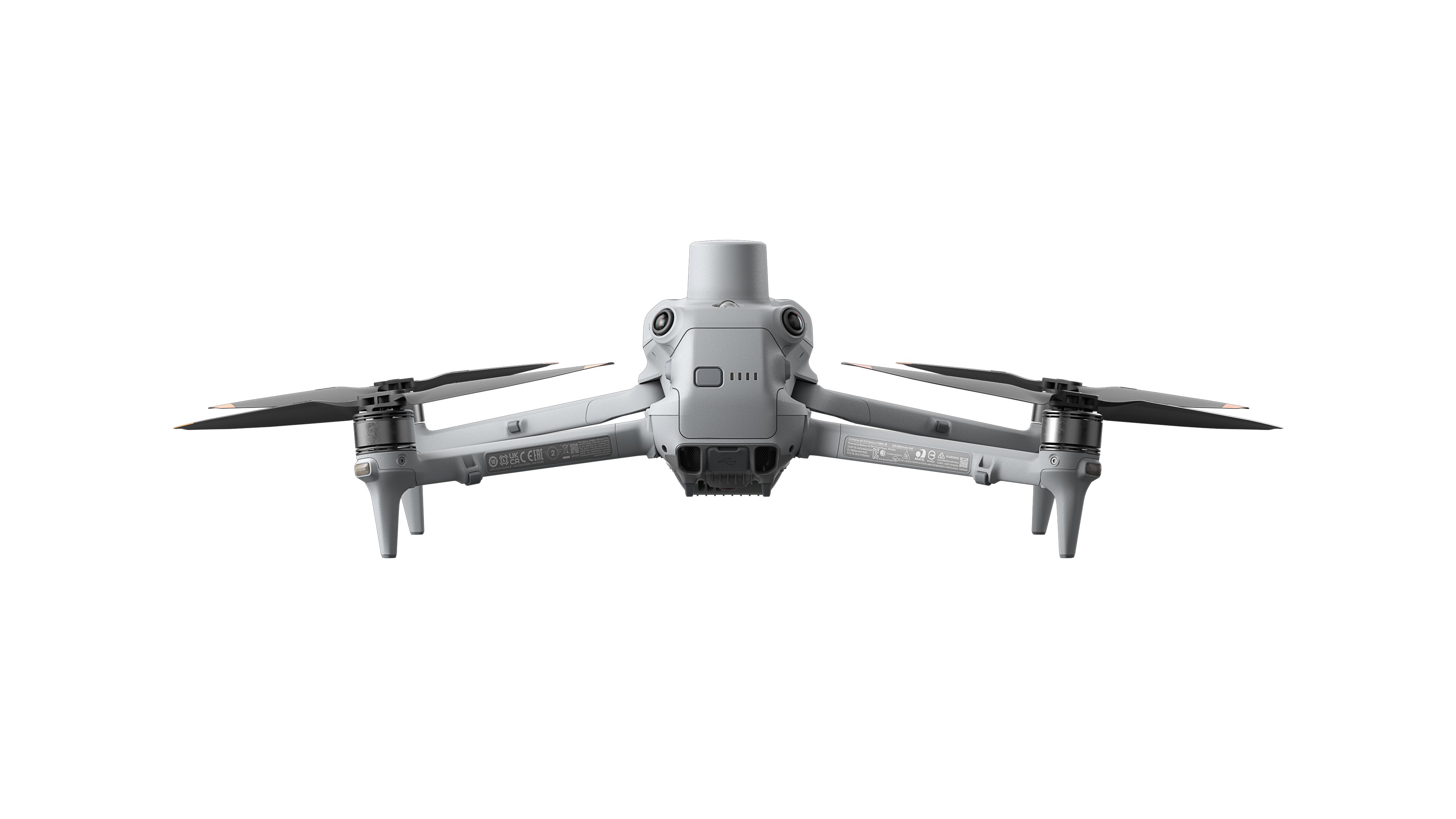
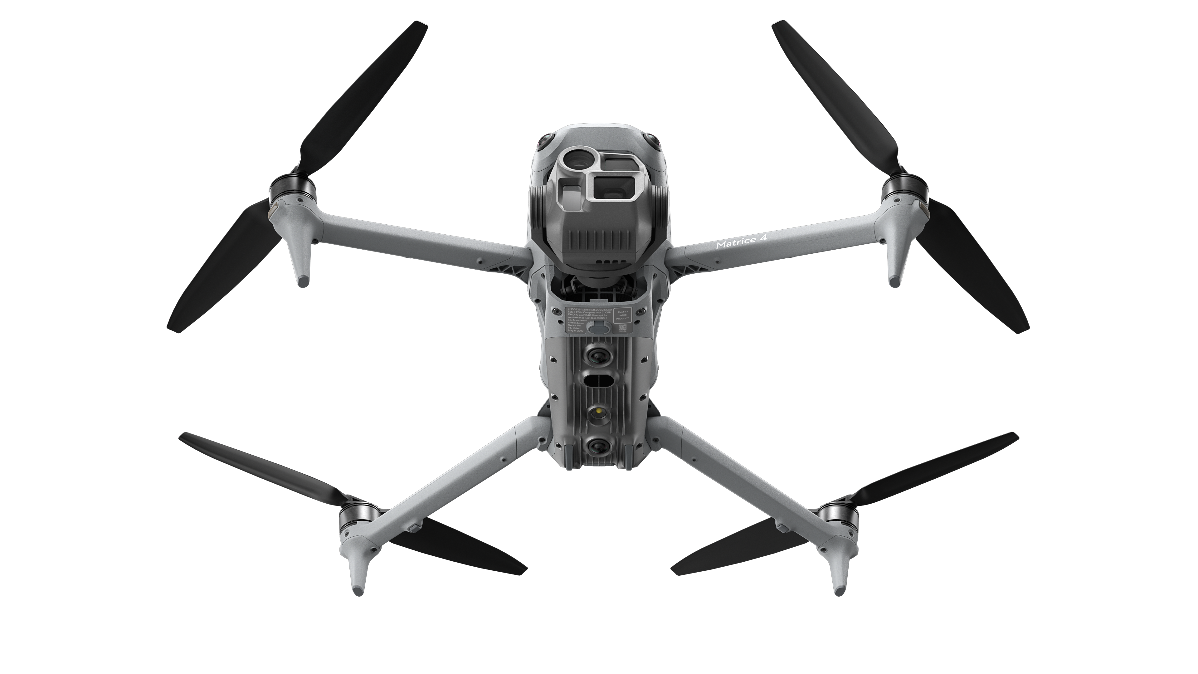
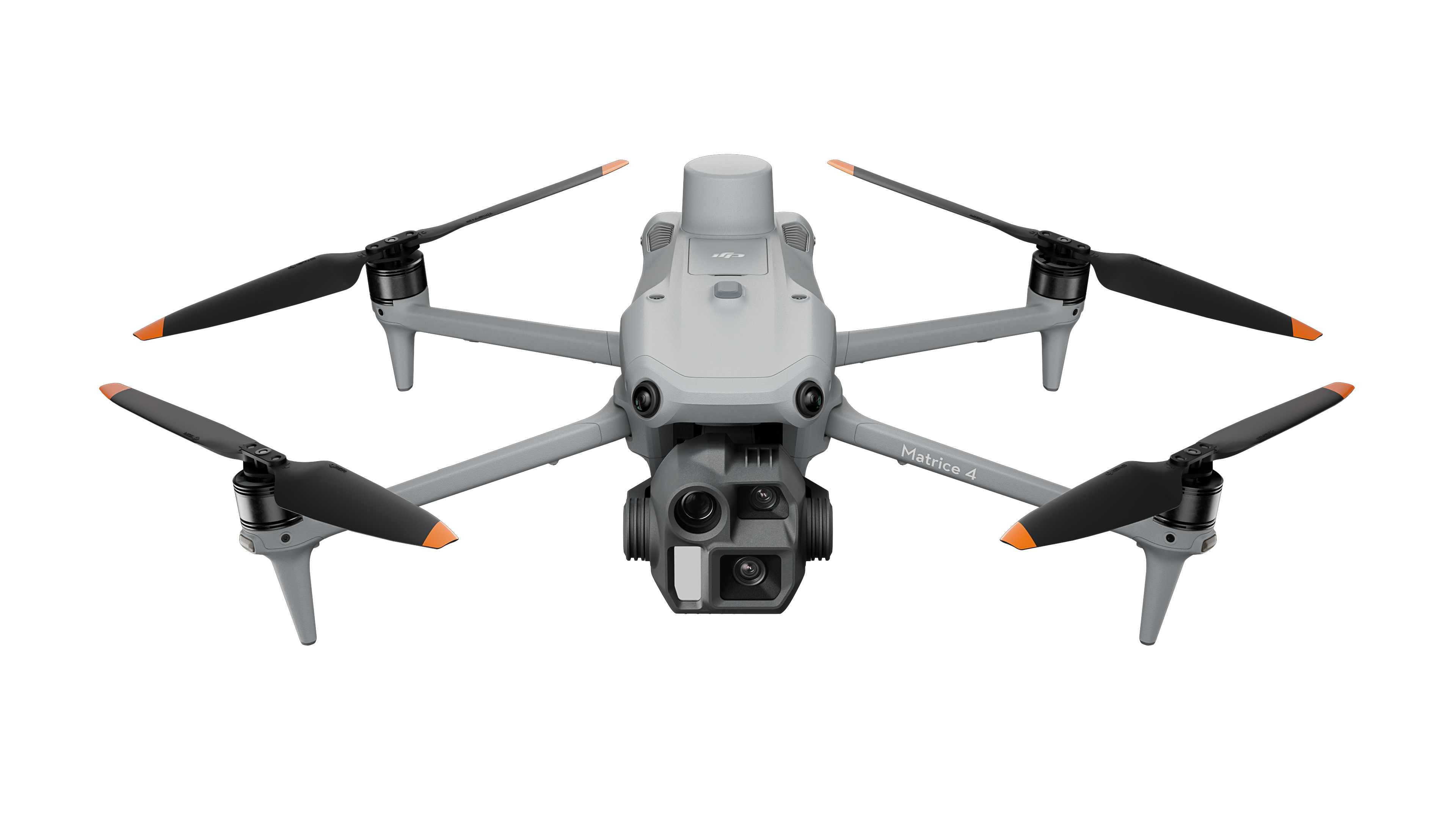
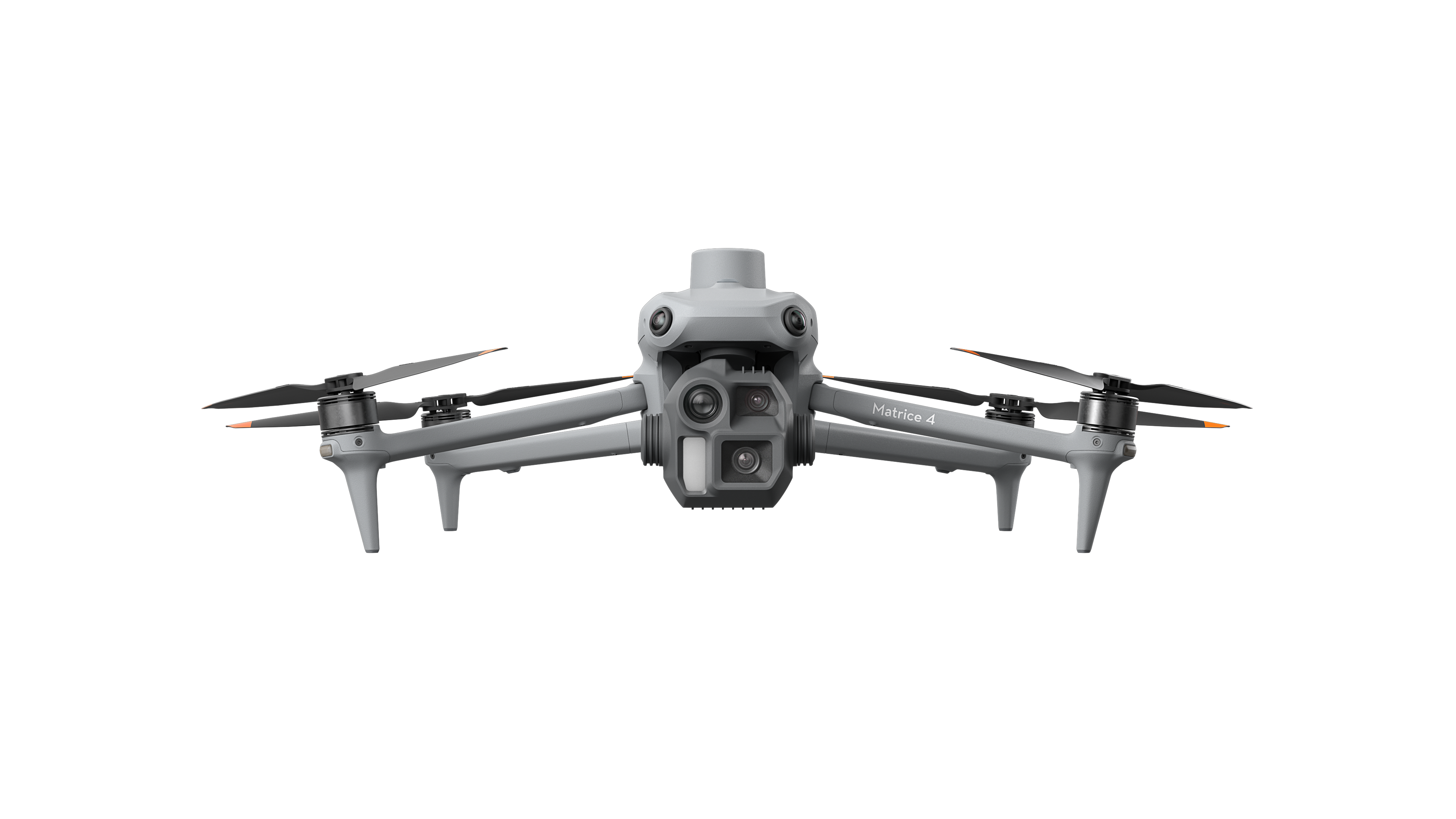
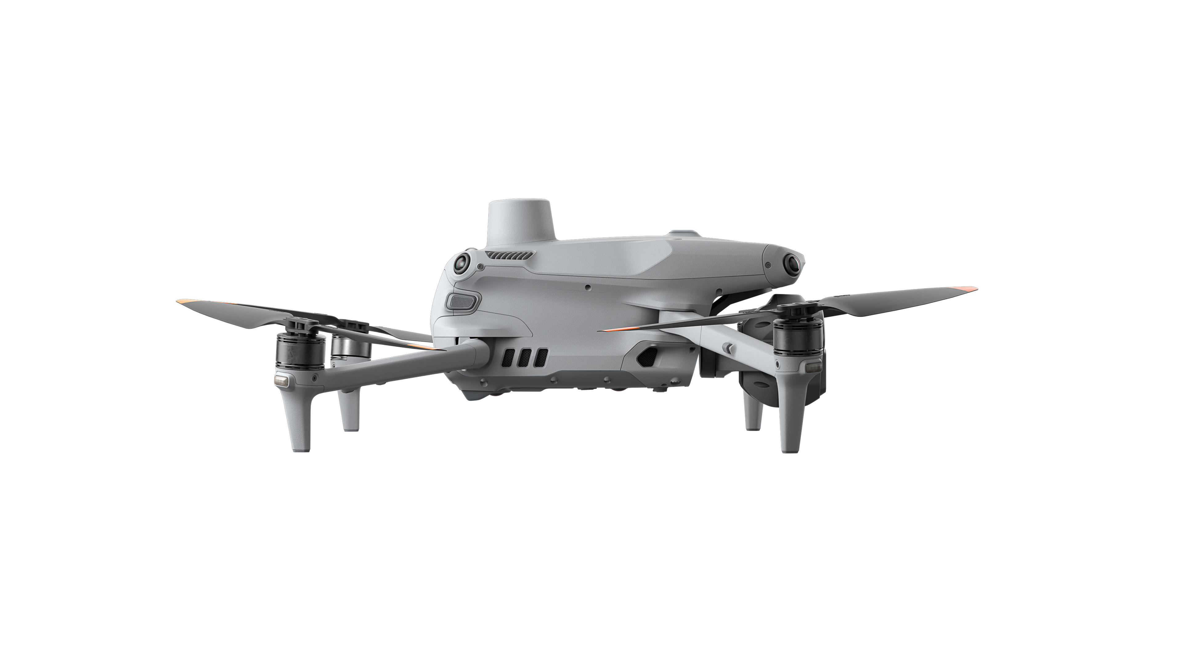
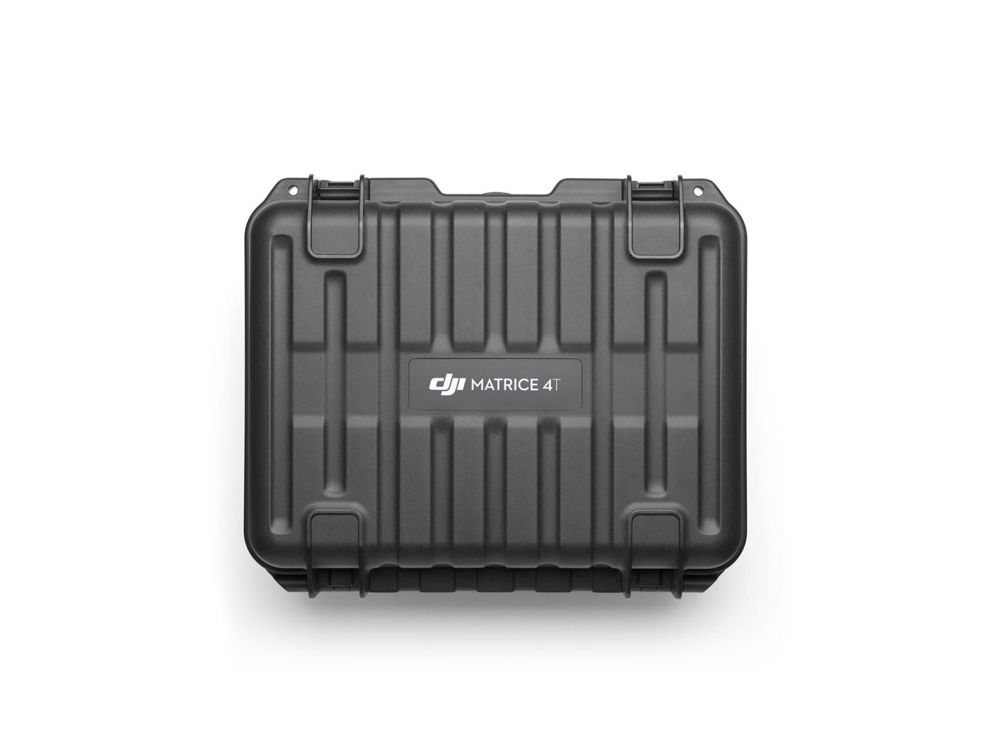
Introducing the DJI Matrice 4 Series, a new compact and intelligent multi-sensor flagship drone series for enterprise industries. The series includes Matrice 4T and Matrice 4E, each equipped with advanced features such as smart detection and measurement with laser range finder. Flight operations are now safer, more realiable, and powered by AI, with significantly enhanced sensing capabilities. The accessories for the Matrice 4 series have also been significantly upgraded. The Matrice 4T is suitable for a wide range of industries, including electricity, emergency response, public safety, and forestry conservation. The Matrice 4E is designed for geospatial applications such as surveying and mapping, construction, and mining. A new era in intelligent aerial operations begins now.
Powerful Multi-Sensor Systems
The Matrice 4T and 4E models feature advanced multi-sensor systems for exceptional visual and data-collection capabilities. The Matrice 4T includes versatile cameras—wide-angle, medium telephoto, telephoto, and an infrared thermal camera for high-resolution thermal readings—plus a laser range finder measuring up to 1,800 meters, making it ideal for search and rescue. The Matrice 4E includes all tele cameras and laser range finder of the M3T, but features a mechanical shutter on the wide-angle camera that excels in rapid mapping with 0.5-second interval shooting, making it efficient for surveying.
Wide-Angle Camera
4/3 CMOS, 20MP Effective Pixels , f/2.8-f/11, Format Equivalent: 24 mm, Mechanical Shutter
Medium Tele Camera
1/1.3″ CMOS, 48MP Effective Pixels, f/2.8, Format Equivalent: 70 mm
Tele Camera
1/1.5″ CMOS, 48MP Effective Pixels, f/2.8, Format Equivalent: 168 mm
Laser Range Finder
Measurement Range: 1800 m (1 Hz); Oblique Incidence Range (1:5 Oblique Distance): 600 m (1 Hz) Blind Zone: 1 m; Range Accuracy (m): ± (0.2 + 0.0015 × D) [1]
Intelligent AI-Powered Operations
The DJI Matrice 4 Series showcases intelligent operations with AI, featuring a built-in model for detecting vehicles, vessels, and subjects during search and rescue or routine flights, and supports switching to other models, enabling the expansion of AI application scenarios. DJI now also provides the necessary model training tools and third-party developer certification process to access onboard computing capability, helping expand new drone AI application fields. Its laser range finder provides real-time measurements for tasks like marking inspection targets or calculating wildfire areas, easily shared via DJI Pilot QR code or DJI FlightHub 2. DJI Pilot 2 enhances patrols and rescues by highlighting camera frame centers and observed areas on maps.
Efficient flight modes, including cruise control and Smart Track for precise tracking, boost operational capabilities, while the POI feature aids 3D modeling and fixed-point observations.
Excel In Low-Light Environments
The Matrice 4 series excels in low-light conditions with upgraded Night Scene Mode, offering full-color night vision in three modes and enhanced noise reduction. Equipped with an IR Cut Filter and NIR auxiliary light, it ensures clear visibility, making search and rescue subjects easily detectable. The Matrice 4T's NIR illumination extends lighting up to 100 meters, ideal for wildlife protection. It supports infrared High-Res Mode at 1280 × 1024 resolution, revealing fine temperature details. Six high-definition low-light fisheye lenses enhance positioning and obstacle avoidance for safe urban navigation.
Precision Mapping for Surveying and Construction
The Matrice 4E enhances geospatial mapping with rapid 0.5-second interval shooting and speeds up to 21 meters per second. Its wide-angle camera supports orthophoto and oblique modes, while 5-directional oblique and 3-directional ortho capture maximize area coverage. It also enables Smart 3D Capture, allowing users to create rough models on the remote controller and generate precise mapping routes for detailed measurements of irregular buildings. It also displays virtual space routes and waypoint photos, enhancing flight safety assessment and coverage area analysis. Distortion Correction 2.0 provides high-precision in-camera distortion correction with residual distortion less than 2 pixels. DJI Pilot 2 auto-generates survey reports, offering key insights and enabling on-site adjustments to improve efficiency.
Robust Telephoto Capabilities for Inspections
The Matrice 4 series stands out with its advanced imaging capabilities, featuring a medium telephoto camera for detailed medium-range inspections and a telephoto camera with 48 MP clarity, capturing intricate details from up to 250 meters away. Furthermore, the Matrice 4T is equipped with an IR-Cut Filter, ensuring reliable 24/7 operations. The series also boasts upgraded telephoto stabilization, which keeps foreground subjects stable and clear during telephoto shooting at 10x zoom or higher. Additionally, Electronic Dehazing in three modes ensures optimal clarity in challenging atmospheric conditions.
Innovative Safety and Navigation Systems
DJI's self-developed RTK module comes standard in the Matrice 4 Series, providing comprehensive visibility for enhanced safety. Its GNSS+Vision Fusion Positioning and Navigation System enables worry-free flights even in areas with poor GPS signals.
Safety Highlights:
- Omnidirectional obstacle sensing prevent potential collisions.
- Intelligent guidance automatically plans paths around mountainous terrain.
- Return-to-Home functionality works seamlessly in GNSS-deprived environments.
New Heights in Video Transmission
The O4 Enterprise video transmission system redefines performance in challenging environments. With the Matrice 4 Series' 8-antenna setup and a high-gain antenna on the remote controller, it achieves an impressive 25 km maximun transmission range. The system offers a download bandwidth of 20 MB/s, doubling the bitrate of the Mavic 3 Enterprise Series, for precise and stable image transmission. Additionally, the Matrice 4 series supports the optional DJI Cellular Dongle 2, enhancing signal stability with 4G image transmission.
Efficient Accessory Ecosystem
The Matrice 4 Series upgrades accessories for more efficiency and adaptable operations. The DJI AL1 Spotlight can clearly illuminate subjects even from 100 meters away, supporting both always-on and strobe modes. It also offers enhanced coverage in wide-angle modes.
Meanwhile, the DJI AS1 Speaker delivers powerful audio, broadcasting up to 300 meters and reach 114 decibels at 1 meter. Further elevating operations, the D-RTK 3 Multifunctional Station supports drones with centimeter-level positioning accuracy, extending image transmission through signal relay* at elevated altitudes and facilitating high-precision data collection in network-free areas. Additionally, it can also be used to mark ground control points.
- Relay station mode only supports DJI Matrice 4 Series
Seamless Software Integration
The Matrice 4 Series offers diverse software tools to simplify mission planning and data analysis.
- DJI Pilot 2 refines user interfaces, featuring a customizable intelligent function toolbar and support for various types of flight routes. Additionally, it includes virtual space models and route preview functions.
- DJI Terra enables high-precision camera distortion correction for the Matrice 4E. It supports free offline PPK processing of visible light images and allows for importing D-RTK 3 data.
*One-year DJI Terra license provided with Matrice 4E purchase.
- DJI FlightHub 2 has been upgraded for remote control, allowing a variety of flight route planning functions, specifically for the Matrice 4 series aircraft. Operators can control payloads and aircraft simultaneously through Live Flight Controls and synchronize multiple livestreams during multi-drone operations for efficient air-ground collaboration.
* Users who purchase the Matrice 4 Series and initially bind to FlightHub 2 will receive corresponding live streaming minutes, map image quotas and storage space.
- DTAT 3.0 provides thermal analysis tool to mark, analyze, and process images, detecting abnormal temperature points.
Elevate Your Operations with the Matrice 4 Series
Whether you're spearheading a search-and-rescue mission or inspecting complex infrastructure, the DJI Matrice 4 Series delivers superior intelligence, safety, and operational efficiency. Its seamless integration of AI and advanced sensor technology ensures that no matter the challenge, you'll always have the upper hand.
Ready to take your aerial operations to the next level? Contact DJI or your local authorized dealer to schedule a demo or learn more about purchasing options.
* Tested with a production model DJI Matrice 4 series in a closed environment in favorable conditions with an unobstructed wireless signal. Actual results may vary depending on the environment, usage, and firmware version.
** All videos and photos on this page were shot in strict compliance with local laws and regulations. Demos, including wildlife, were shot from a safe distance and are used for reference only. Please observe local laws and regulations and ensure the aircraft has obtained relevant certifications before flying.
1. D represents the measurement distance.
2. Only available with Matrice 4T. DO NOT expose the infrared thermal camera lenses to strong sources of energy such as the sun, lava, or a laser beam. Otherwise, the camera sensor may be burned leading to permanent damage.
3. Only available with Matrice 4T. The NIR auxiliary light is suitable for the lighting needs of the tele camera.
4. Measured when the drone is hovering 100 meters above the ground, with the tele camera effectively capturing images.
5. Without installing the spotlight or speaker accessories, the visual obstacle avoidance remains active in urban night lighting scenarios. Compared to the Mavic 3 Enterprise, it offers a longer operation time.
6. Measured under standard lighting conditions from a horizontal position 10 meters away from the subject, with a direct line of sight.
7. Captured with the tele camera directly facing the subject.
8. Please adjust the maximum horizontal speed to this speed in Gain& Expo Tuning; this speed is measured without any load, in a windless environment near sea level.
9. Data is greatly affected by the environment, and performance may vary in different scenarios. Actual performance is subject to the delivered product.
10. The current functionality is insufficient to meet the needs of urban area mapping. Future updates will continue to optimize flight routes and mapping solutions for urban areas.
11. At a GSD of 5 cm, with an 80% front overlap rate, a 70% side overlap rate, and a flight speed of 15 m/s.
12. There are certain production tolerances between individual drones. The data is for reference only. Please refer to the actual delivery for specifics.
13. Data measured in an open, interference-free environment.
14. Sold separately. DJI Cellular Dongle 2, not available in some countries and regions. Please consult your local dealer for details.
15. Sold separately. Installing accessories may affect the obstacle avoidance safety performance of the aircraft. Please follow the instructions for use.
16. This is the result at a distance of one hundred meters from the subject, for reference only.
17. This data was measured in an experimental environment with an ambient temperature of 25°C and is for reference only. Actual conditions may vary slightly due to differences in software versions, audio sources, specific environments, and other factors. The final effect is subject to actual use.
18. The current text-to-speech only supports Mandarin Chinese and English.
19. Need to upgrade to the latest firmware.
20. The data is affected by ambient temperature and may experience power throttling due to overheating.
21. Measured at 25°C room temperature, charging from 0% to 100%.
22. Smart 3D Capture flight routes support this function, but it is currently only available on Matrice 4E.
23. The service plan offered may vary by country or region. For more information, please consult your local authorized dealer.
24. Unlimited Number of Free Repairs: Get free repairs within the coverage scope and amount; Free Shipping: Available in regions covered by DJI Care Enterprise. Users are responsible for additional costs including logistics and customs duties incurred beyond the scope of coverage; Flyaway Coverage: Enjoy the flyaway coverage service after binding the account and remote controller via DJI Pilot 2; Coverage for Your Whole Fleet: Shared coverage can be extended to other DJI Enterprise devices bound to DJI Care Enterprise Plus within the same time period (30 calendar days) after the first activation and binding.
25. For specific parts, please refer to the DJI website - Support - After-sales Service Policy.
Our on-line store is open 24/7 and we ship Monday through Thursday, excluding some holidays. Orders received for products without shipping restrictions on its product page will ship the same business day when received before 12:00 p.m. PST. Orders in high demand will have an estimated time listed on its product page and will ship according to the date listed.
Signature is required for most shipments.
*How long does it take for you to ship a product?*
This depends on your location, the method of shipping and the item you choose.
For in stock items inside the USA we typically ship by UPS and FedEx and for small items we ship by USPS. We typically ship items within 1-2 business days of the order for in stock shipment.
Ground Shipments can take up to 5 Business days from our Washington location. Express options are available by contacting us, but UPS and FedEx do NOT guarantee any shipments at this time.
If there are lithium batteries (most drones & ROVS), these cannot be shipped express.
USPS typically takes 2-3 business days for the smaller items by priority mail.
SHIPPING NOTES:
- Orders under $50 = $25 Ground Shipping & Handling
- Orders $50-499.99 = $20 Ground Shipping & Handling
- Orders $500 or higher = FREE Ground Shipping & Handling (USA Only)
- Alaska & Hawaii have unique shipping starting at $75
- Contact us for Express Shipping Options
- DHL & UPS Available for International Orders*
*International shipments are typically sent by DHL or UPS. Please note you are responsible for any customs fee, taxes and brokerage fees that may be due by importing an item into your country.
LEARN MORE BY VISITING SKYWATCH HERE
While not always legally required, having insurance to fly a drone is highly recommended for several reasons:
Why You Should Consider Drone Insurance:
- Liability Coverage:
- Protects you if your drone causes injury or property damage to others.
- Damage Protection:
- Covers repairs or replacement costs if your drone is damaged in an accident.
- Theft Protection:
- Provides coverage if your drone is stolen.
- Compliance:
- Some commercial operations and clients may require proof of insurance before allowing you to fly.
- Peace of Mind:
- Offers reassurance that you are financially protected against unforeseen incidents.
Types of Drone Insurance:
- Liability Insurance:
- Covers legal fees and damages if your drone causes injury or property damage.
- Hull Insurance:
- Covers physical damage to your drone.
- Covers physical damage to you sensor (separately from the drone)
- Personal Injury Insurance:
- Covers injuries to yourself or your team while operating the drone.
- Commercial Drone Insurance:
- For businesses, covering multiple drones and operators, including comprehensive coverage options.
Where to Get Drone Insurance:
- Specialized drone insurance providers
- General insurance companies with drone policies
- Aviation insurance companies
Legal Requirements:
- Check local regulations as requirements can vary by country and region.
- In the U.S., the FAA does not mandate drone insurance, but it’s advisable for all operators, especially for commercial use.
In summary, while insurance might not be legally required, it is a smart and responsible choice to protect yourself and others while flying a drone.
Check with your insurance provider to see if they cover the drone rental and flights. If they do not, we highly recommend that you have insurance when you are flying drones. We have found that Skywatch.ai offers some of the best options for Drone Insurance.
LEARN MORE BY VISITING SKYWATCH HERE
Frequently Asked Questions
Do we offer Financing? The short answer is YES we do!
To determine the best financing option, we need to determine if you are interested in a personal financing option or if you will be using a business to finance your purchase.
 BUSINESS OPTIONS:
We work with 2 different companies for financing. Each Organization has their own criteria for purchases. These Financing options are for US customers only.
-
BNC Financial
Specializes in equipment funding from $500 and up. Follow this link to to the the financing application. -
First Pacific Funding
Financing options from $5000 and up. Follow this link to go to the financing application. - APPROVE Commercial Financing. Add an item to your cart, then click on the APPROVE logo for an inline application on the right hand of your screen. Monthly Payments and rates vary depending on final terms.
https://financing.approvepayments.com/blue-skies-drone-shop
 PERSONAL OPTIONS:
- Affirm
Buy now, pay later without the fees. Affirm is the smartest way to pay over time. Shop pretty much anywhere and pay at your own pace without any fees, so you can get the things you love without breaking your budget.
Affirm is built into our website. Click on the product you are interested in purchasing, then click on the 'Pre-qualify now' link.
Click Here to see the details on how it works -
Shop Pay
This payment option works similar to Affirm. If you do not see the shop pay option on the product page, click on "More payment options.
The Look for the button.

