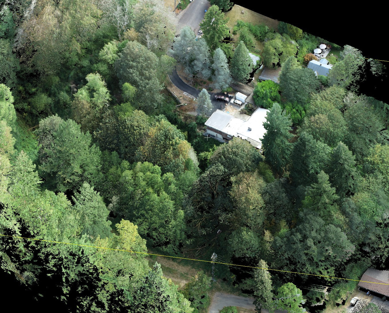
If you ever wanted to know what kind of data is being collected remotely, The Remote Sensing and Geospatial Analysis Laboratory (RSGAL) at the University of Washington is a place you may want to check out.
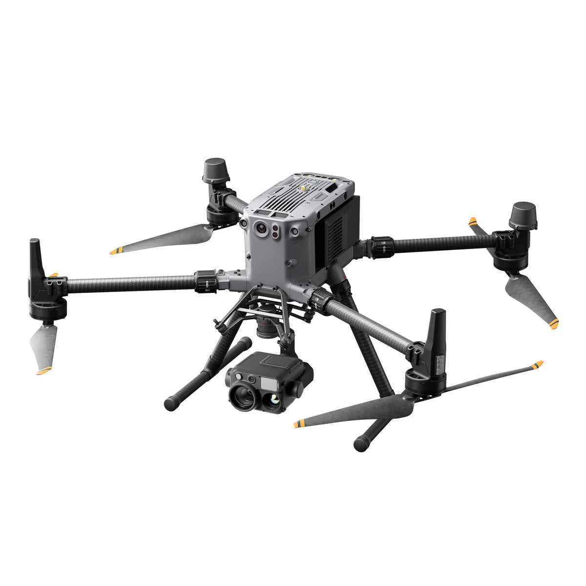
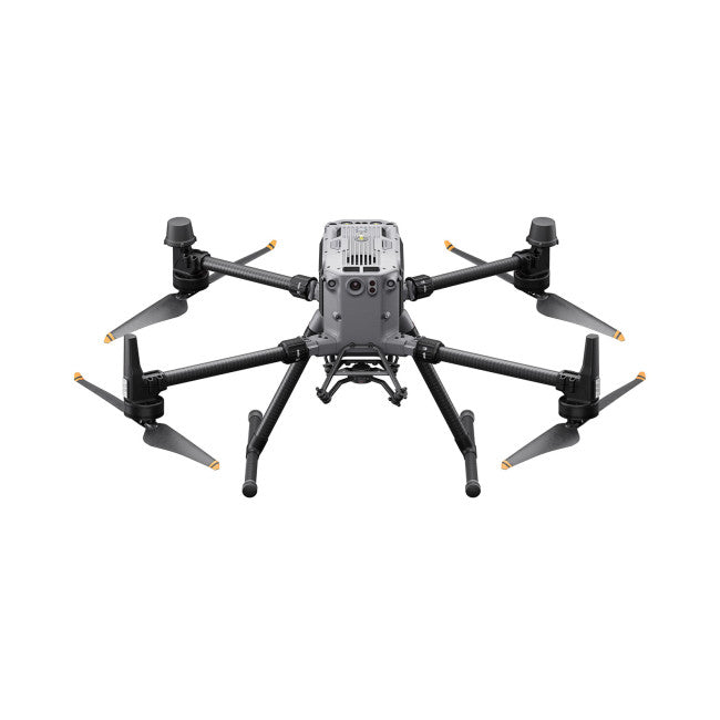
Here they are using drones to capture and analyze data alongside lidar, multispectral, hyperspectral sensors and more.
Some areas they are focusing on are in Wetland Research and Forest Remote sensing.
If you want to know more how drones and remote sensing work together, reach out to us.


