Thermal Analysis

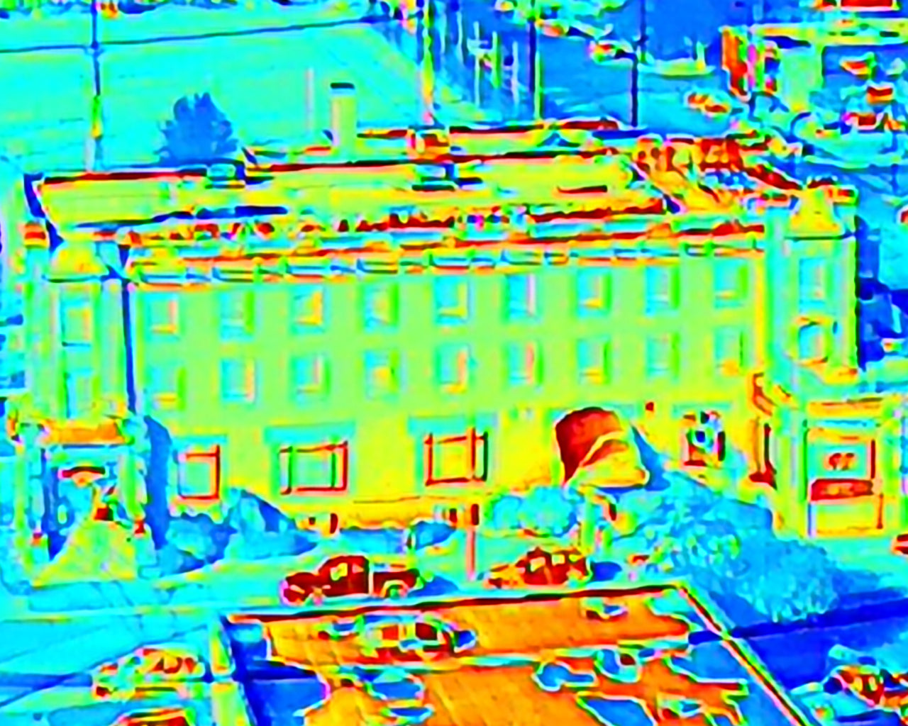
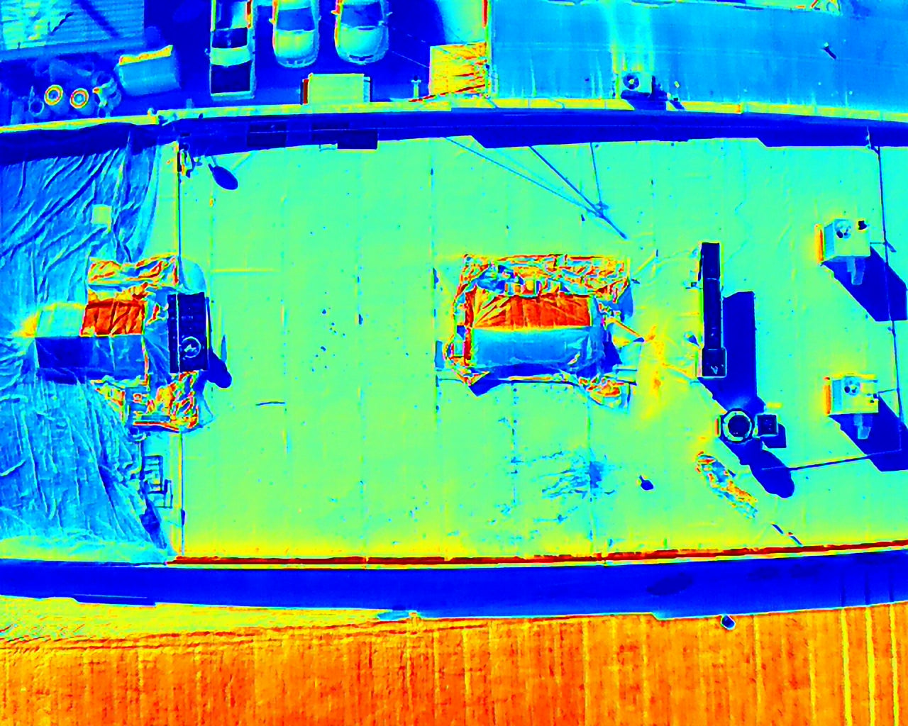
Drone thermal analysis offers a powerful and versatile tool for various applications across industries, providing critical insights through the detection of temperature anomalies. With advancements in thermal imaging technology and drone capabilities, it continues to expand its role in improving efficiency, safety, and decision-making processes. By leveraging this technology, businesses and organizations can achieve more accurate, timely, and cost-effective solutions to their operational challenges.

Agricultural Monitoring

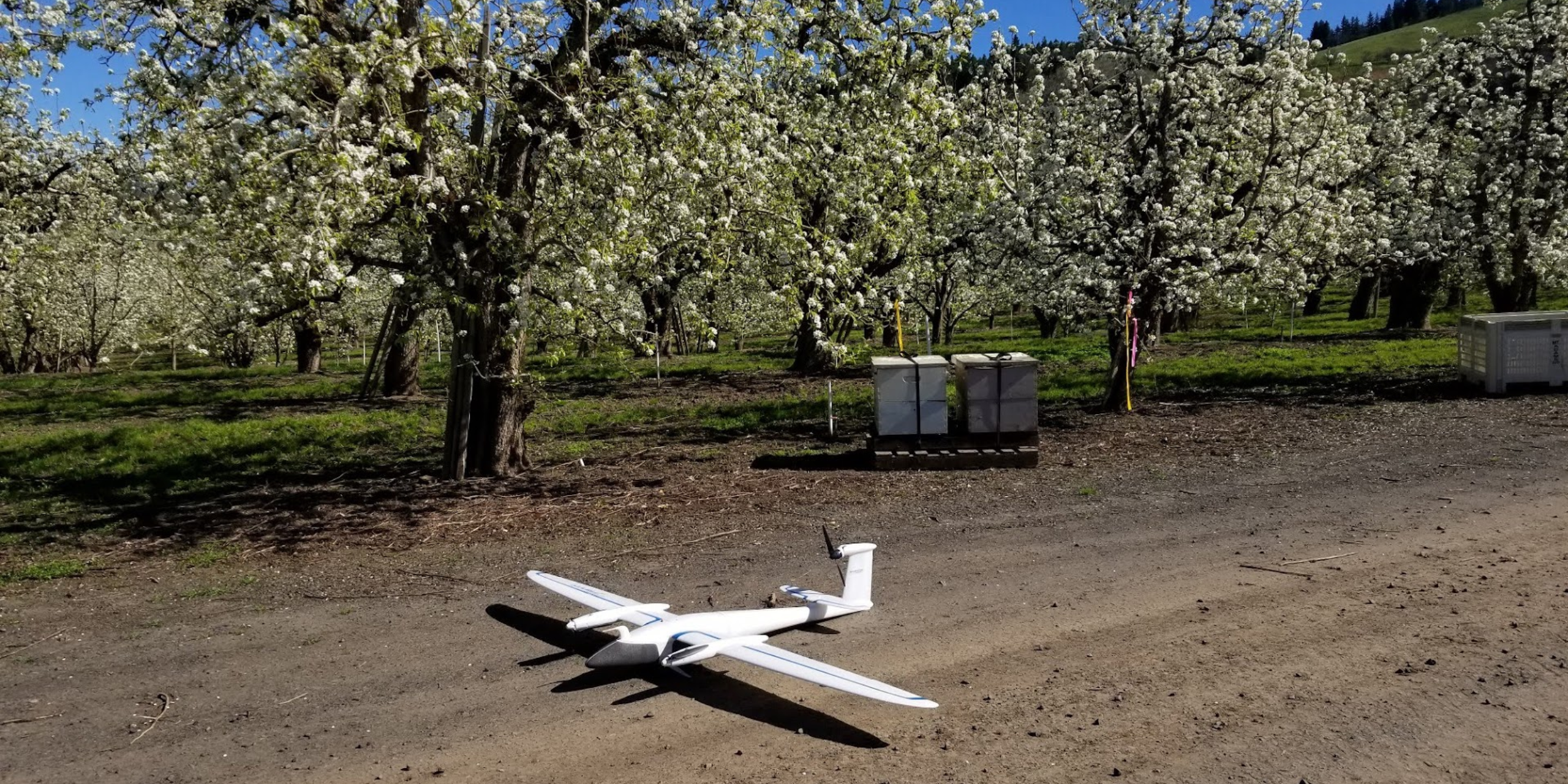
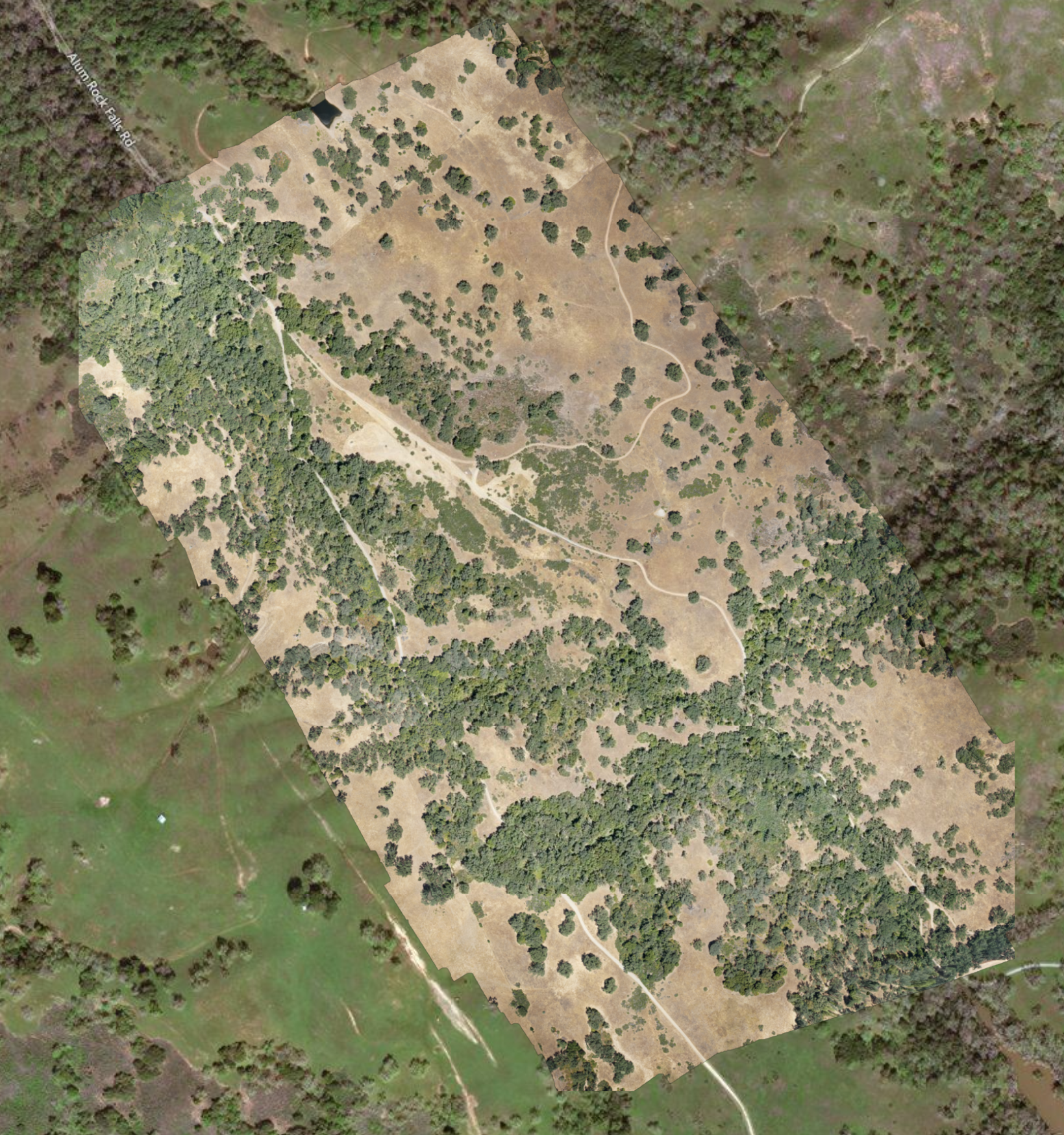
Agricultural monitoring with drones provides farmers with a powerful tool to enhance productivity, efficiency, and sustainability. By leveraging advanced imaging and data analysis capabilities, drones help in precise crop management, timely intervention, and resource optimization, ultimately leading to better yields and reduced environmental impact. As drone technology continues to evolve, its role in agriculture is expected to grow, offering even more innovative solutions to farming challenges.

Construction Site Change Monitoring

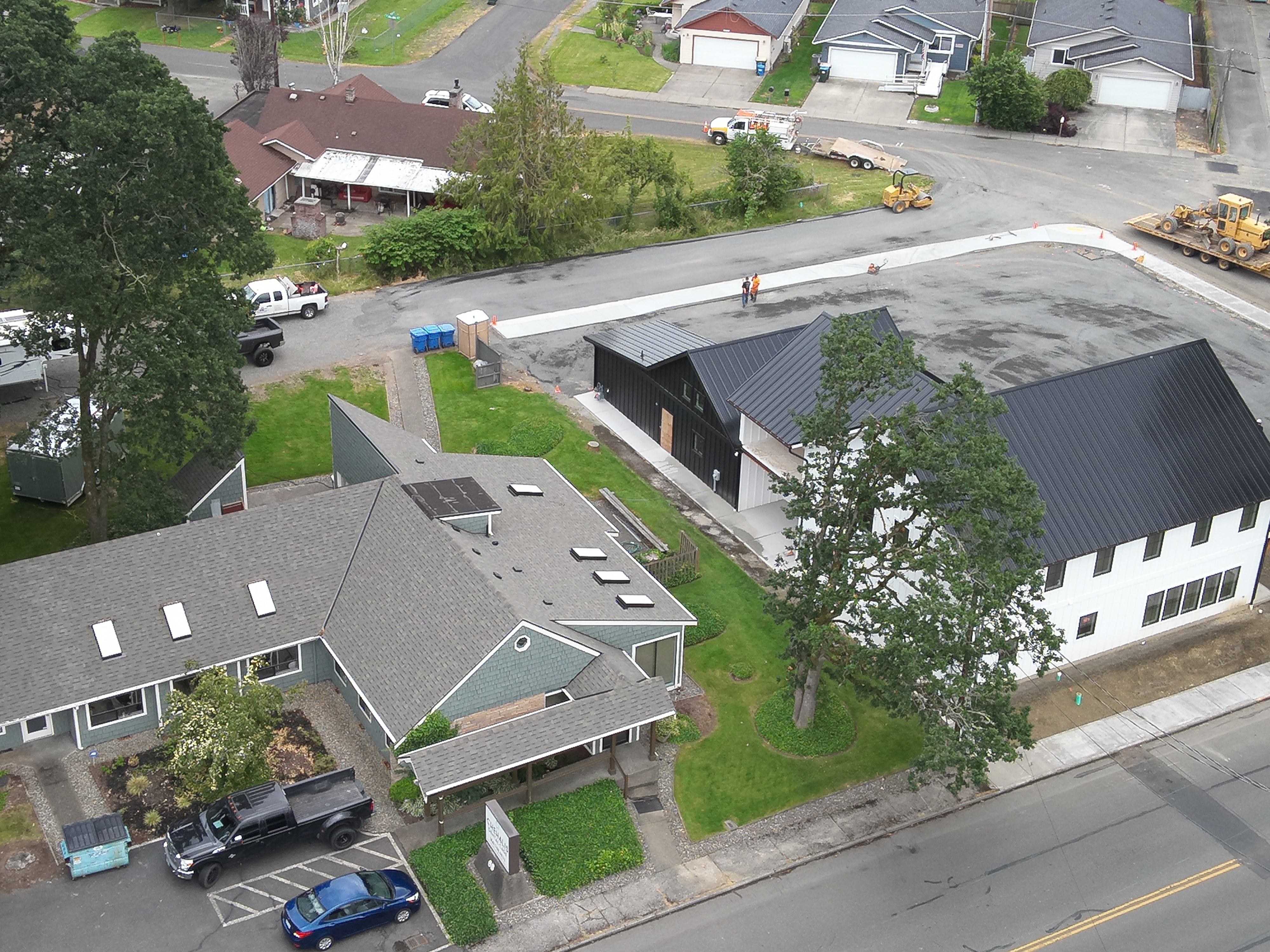
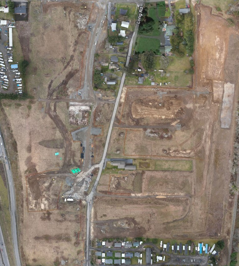
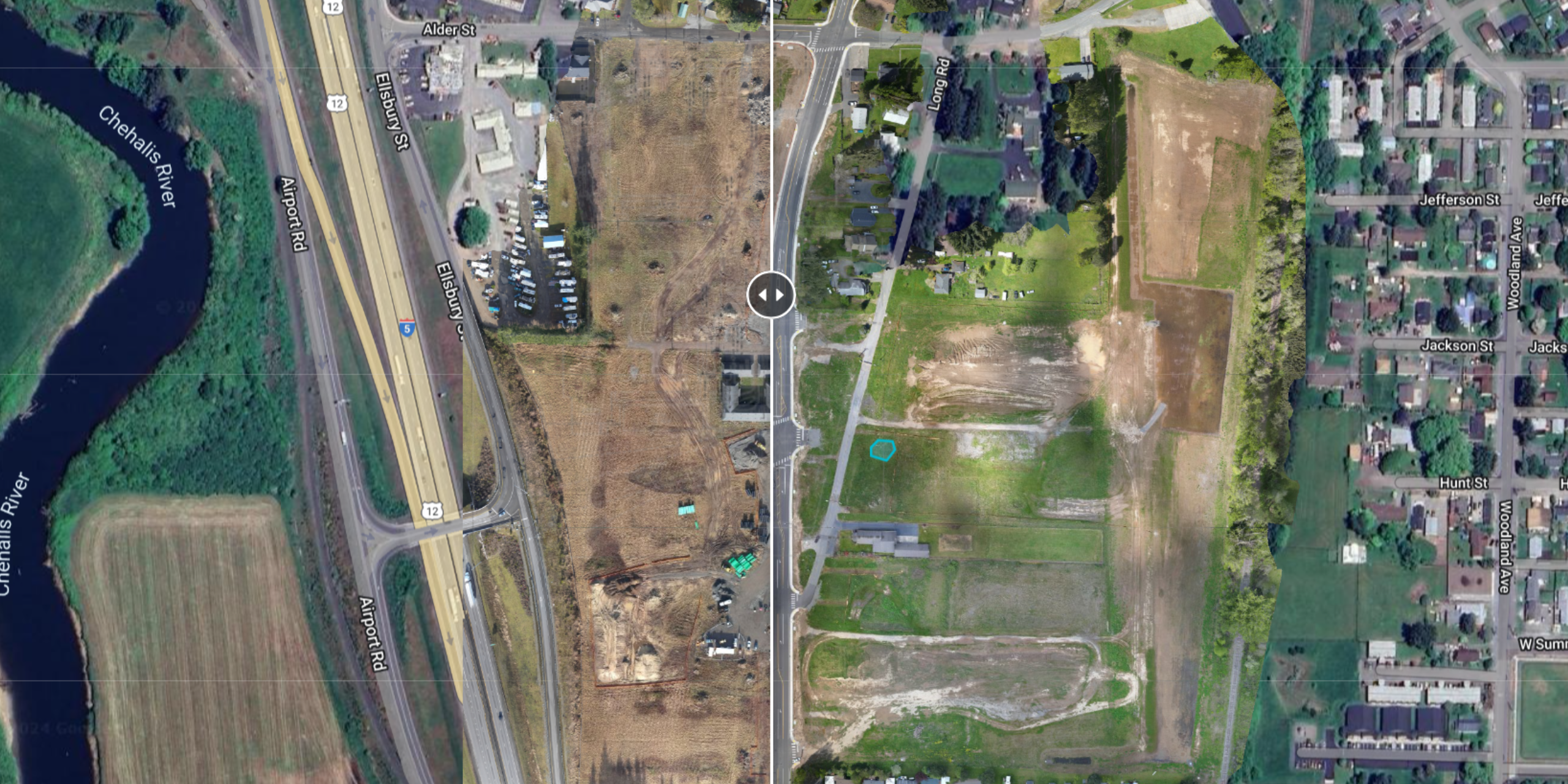
Construction site change monitoring with drones provides a powerful tool for enhancing project management, efficiency, and safety. By leveraging high-resolution imagery, 3D modeling, and volumetric analysis, drones offer detailed insights into site progress and conditions. This technology enables proactive issue detection, better communication, and informed decision-making, ultimately contributing to the successful and timely completion of construction projects. As drone technology continues to advance, its role in construction site monitoring will become increasingly integral to modern project management practices.

Data Processing

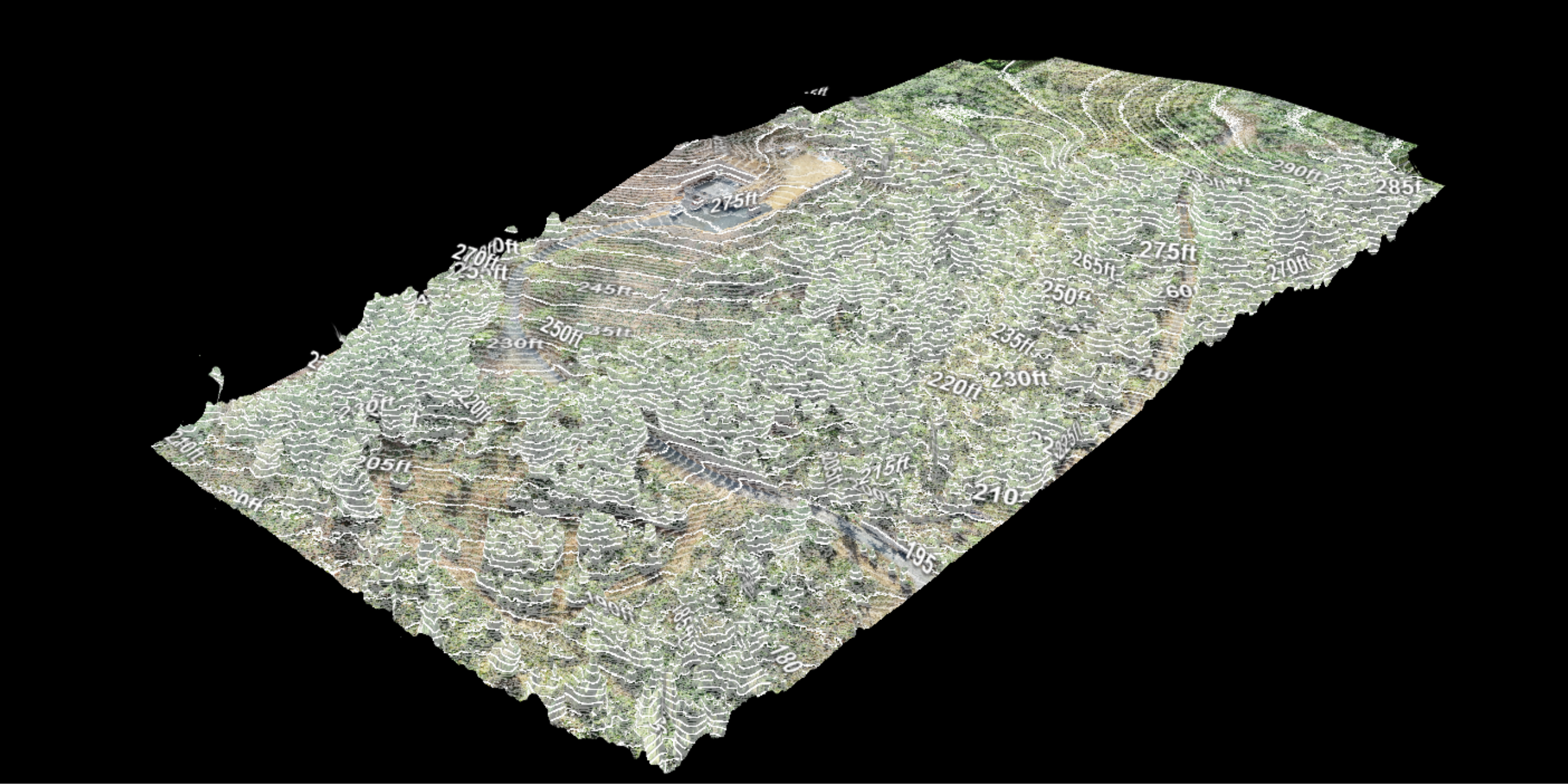
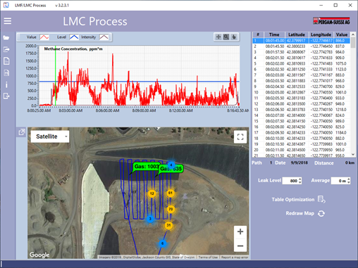
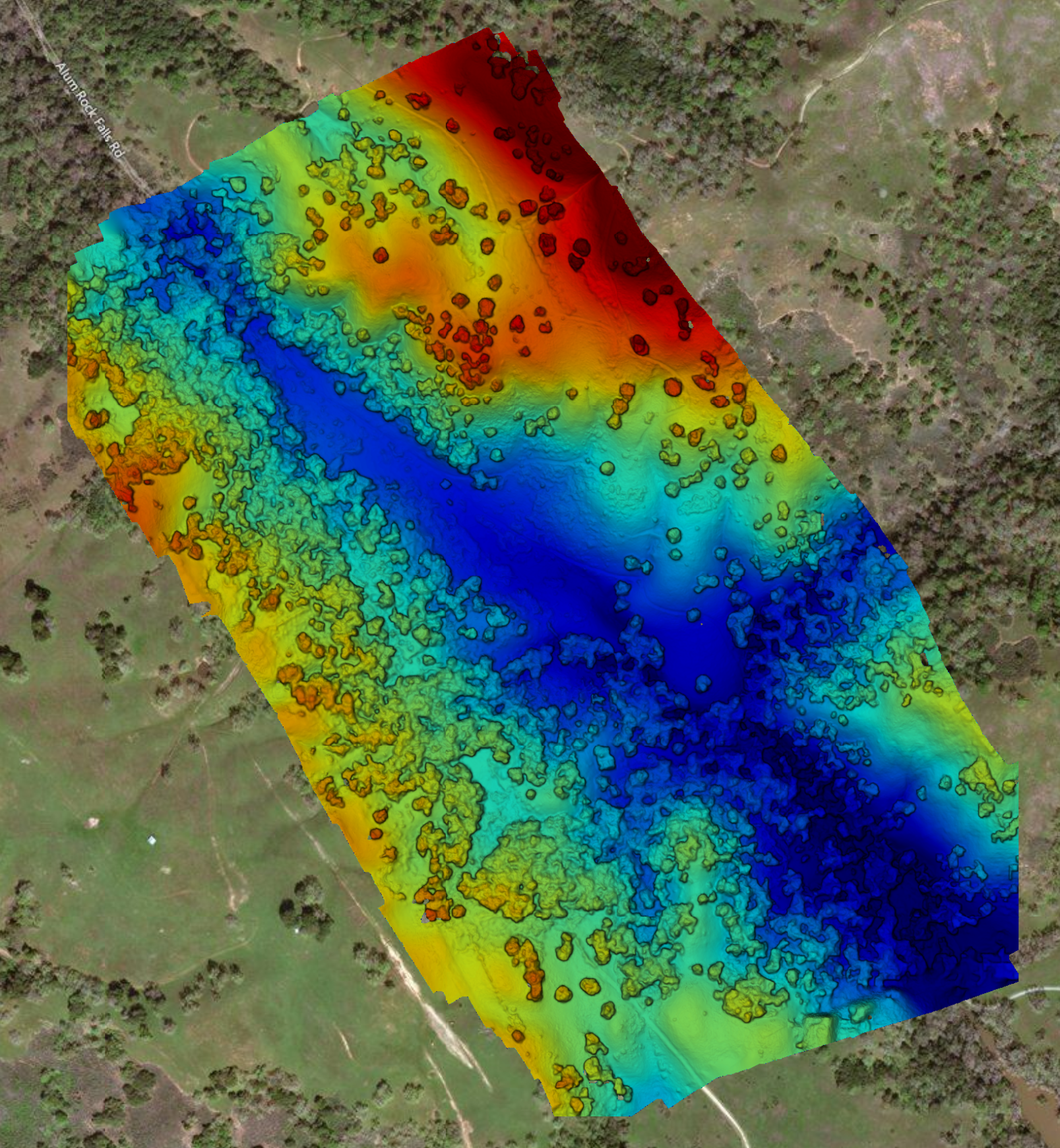
Drone data processing transforms raw aerial data into valuable insights through a systematic process of acquisition, preprocessing, analysis, and visualization. By leveraging advanced software and techniques, industries can optimize their operations, enhance decision-making, and improve efficiency. Whether for agriculture, construction, environmental monitoring, or infrastructure inspection, drone data processing provides critical information that drives better outcomes.

Lidar Flights

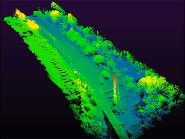
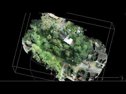
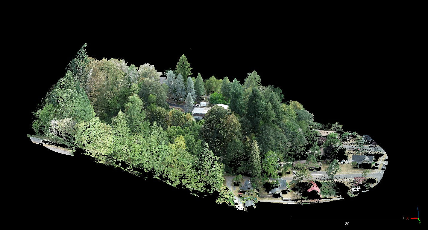
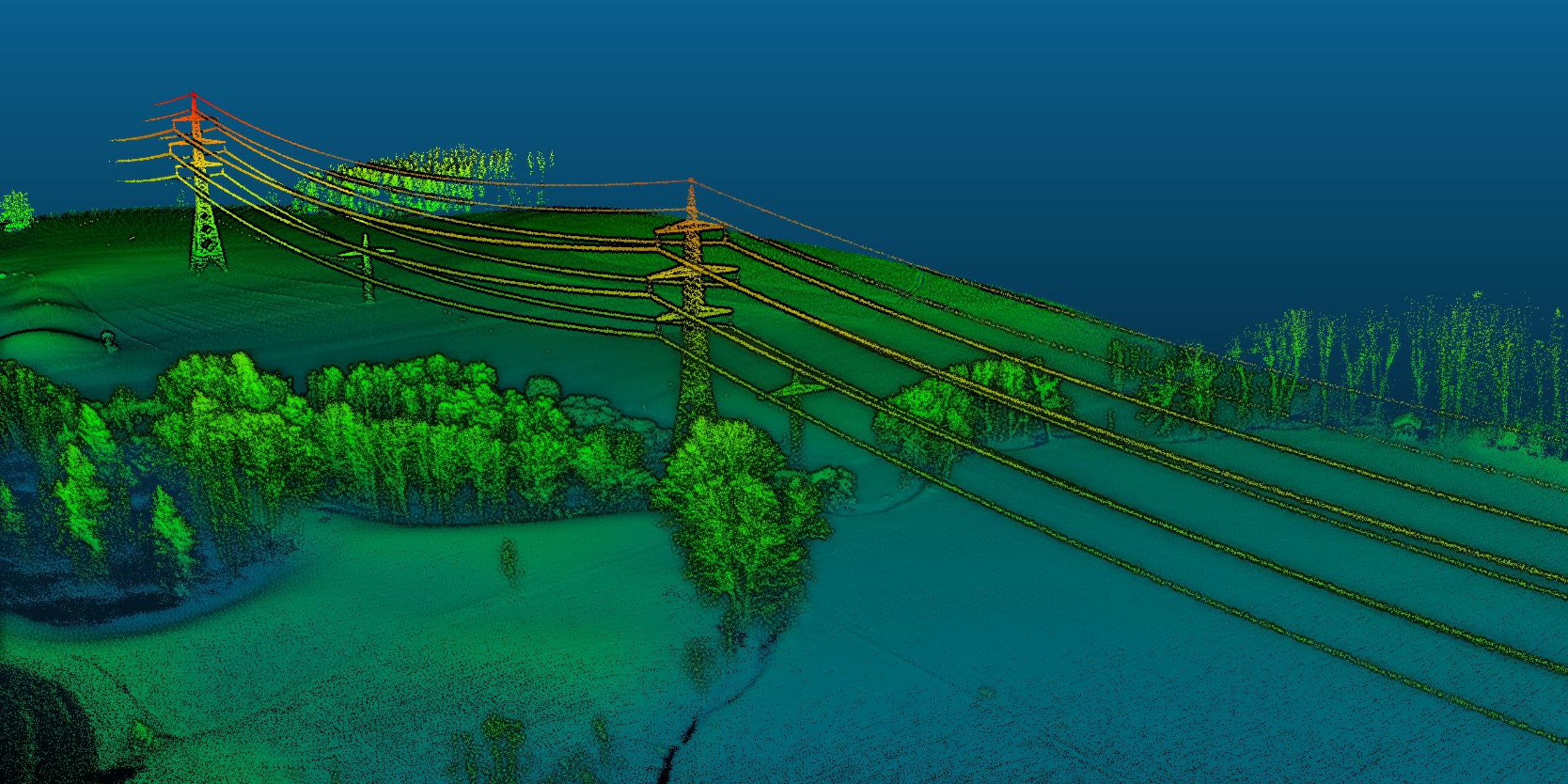
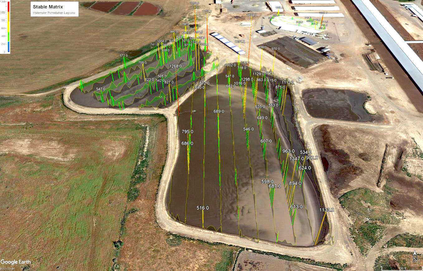
LiDAR drone services offer a powerful tool for capturing precise, detailed 3D data of the earth's surface and structures. By leveraging advanced LiDAR sensors and drones, industries can achieve high accuracy, efficiency, and cost-effectiveness in their mapping, surveying, and analysis tasks. As technology continues to evolve, the applications and benefits of LiDAR drone services are expected to expand, providing even more innovative solutions for various operational challenges.

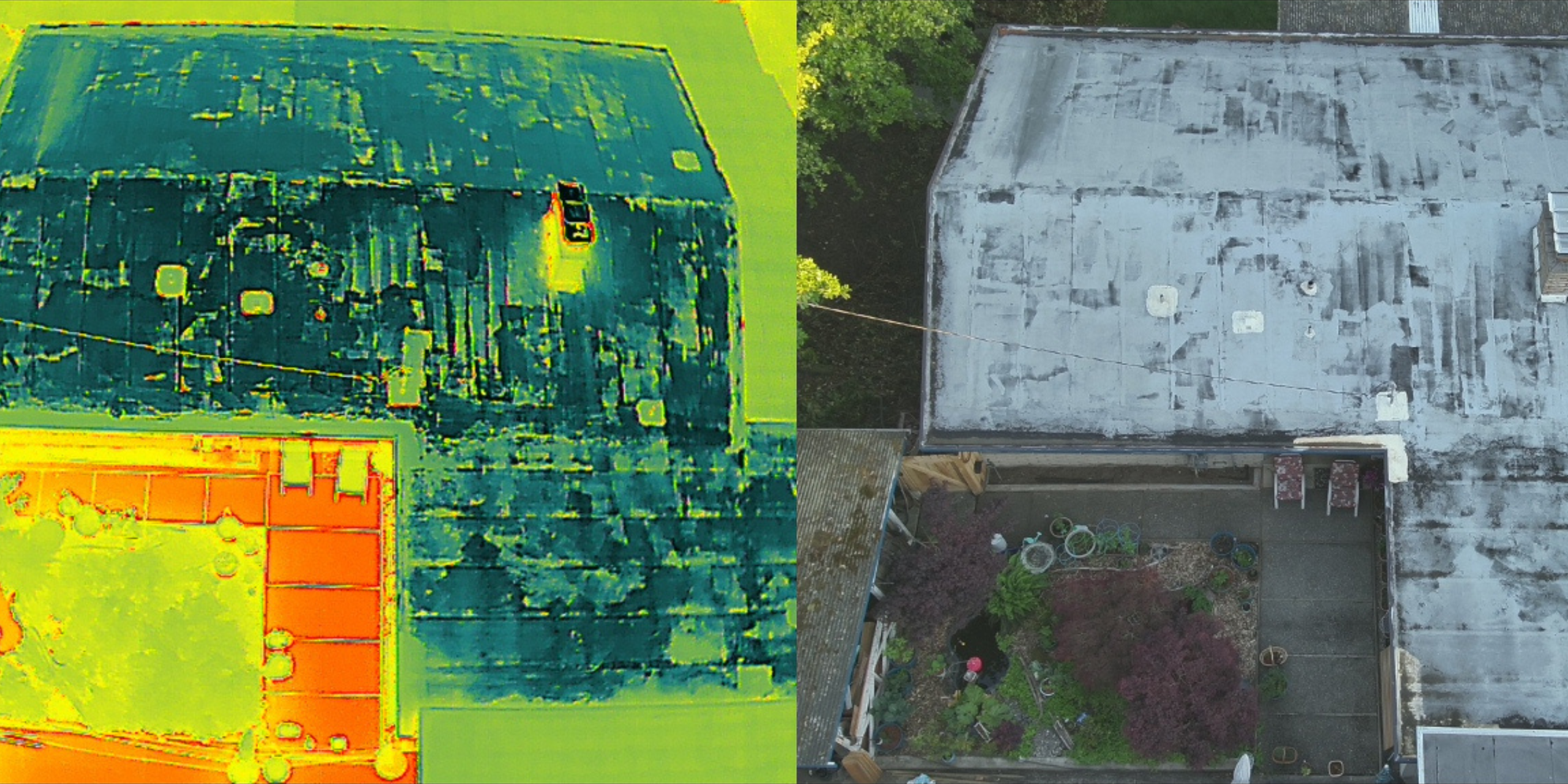
Thermal Roof & Thermal Envelope Inspections

Thermal roof and thermal envelope inspections with drones offer a powerful and efficient way to assess the condition and performance of buildings. By leveraging advanced thermal imaging technology, these inspections provide critical insights into heat loss, moisture intrusion, and insulation deficiencies, enabling timely and cost-effective maintenance. As drone and thermal imaging technologies continue to advance, their application in building inspections is expected to become even more widespread, offering improved accuracy and efficiency in maintaining building health and energy performance.

Drones are making headway into the commercial aerial services sector. For decades these tasks have been performed by hiring expensive manned aircraft with a pilot or by using cumbersome crane equipment. Now many of these tasks can easily be performed with small and portable Drones. Drones are also referred to as UAV (Unmanned Aerial Vehicle) or as UAS (Unmanned Aerial System). Most people’s exposure to drones / UAVs / UAS has been in the form of media coverage of military use. Now we are on the verge of a rapid expansion of the use of drones / UAVs / UAS for a wide variety of commercial services! Contact us today with your need so we can provide a custom solution to fit your needs!

We have FAA Licensed Pilots and carry insurance and provide COIs for our customers.
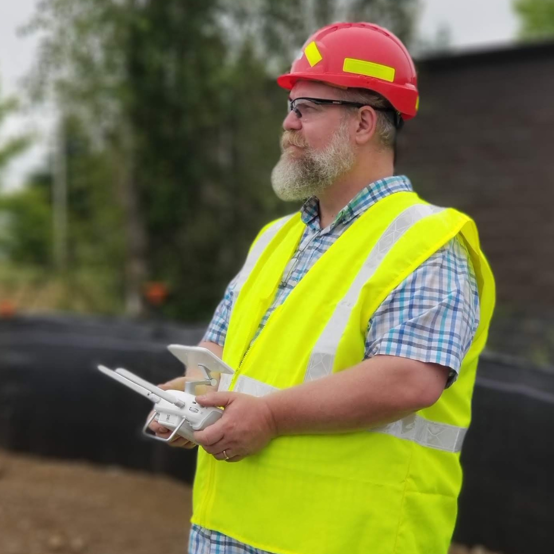
We offer some basic flat-rate services, but most of our advanced services are tailored to meet specific needs and require a custom quote.

Services Quote

Aerial & Underwater Drone Services

We provide professional drone operators to service any location across the U.S. With a vast network of skilled drone pilots, we ensure top-quality service tailored to your needs.

Examples of Aerial Drone Services include:

Inspection:

  • Cell Towers
  • Solar Panels
  • Industrial Facilities
  • Roofing
  • Bridges & Infrastructure

Surveying for Engineering & Agriculture:

  • Professional mapping to create:
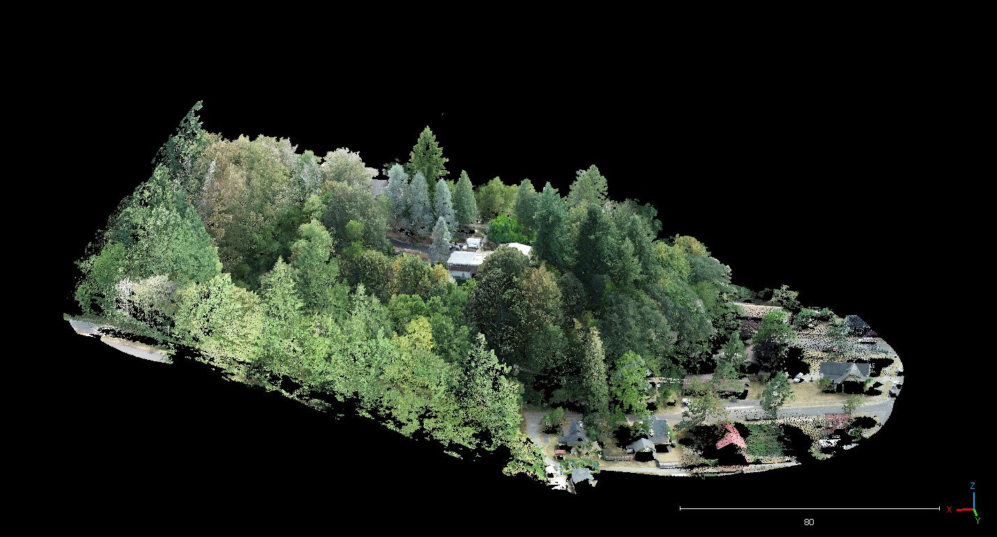
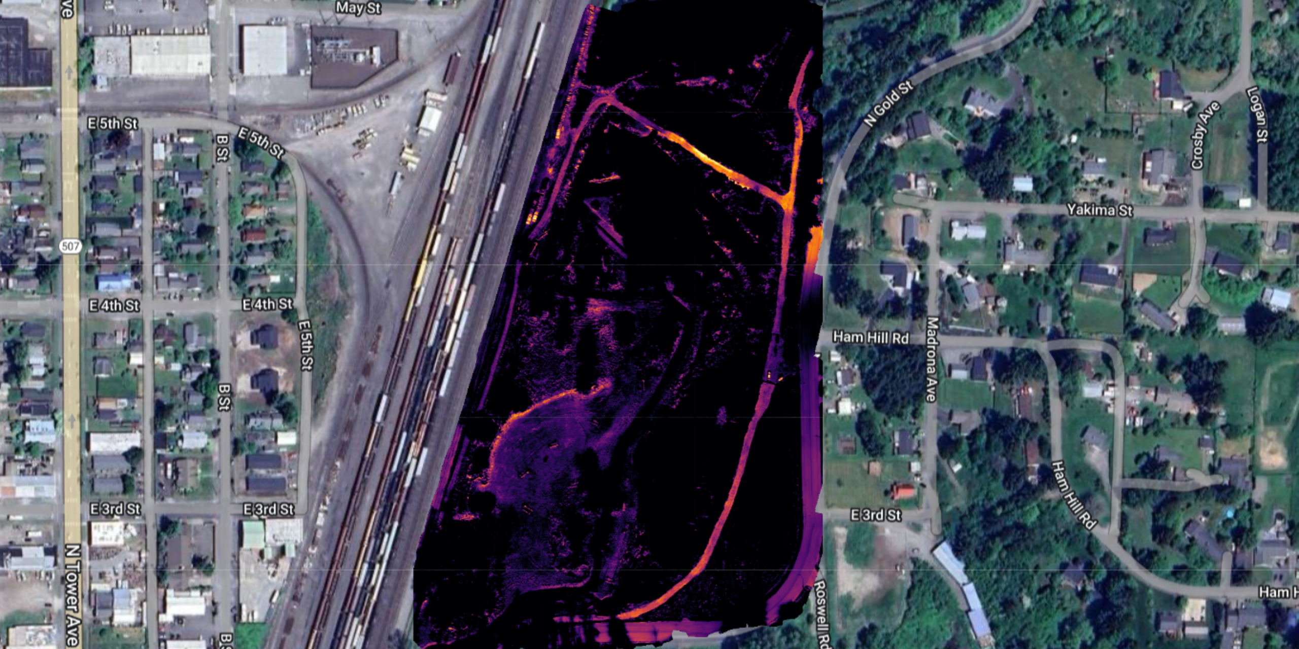
    • Orthomosaic Maps
    • Digital Surface Models (DSMs)
    • Point Cloud Models
  • Build Progress Documentation
  • Normalized Difference Vegetation Index (NDVI)
  • Agriculture Plant Health Maps

Photo / Video Services:

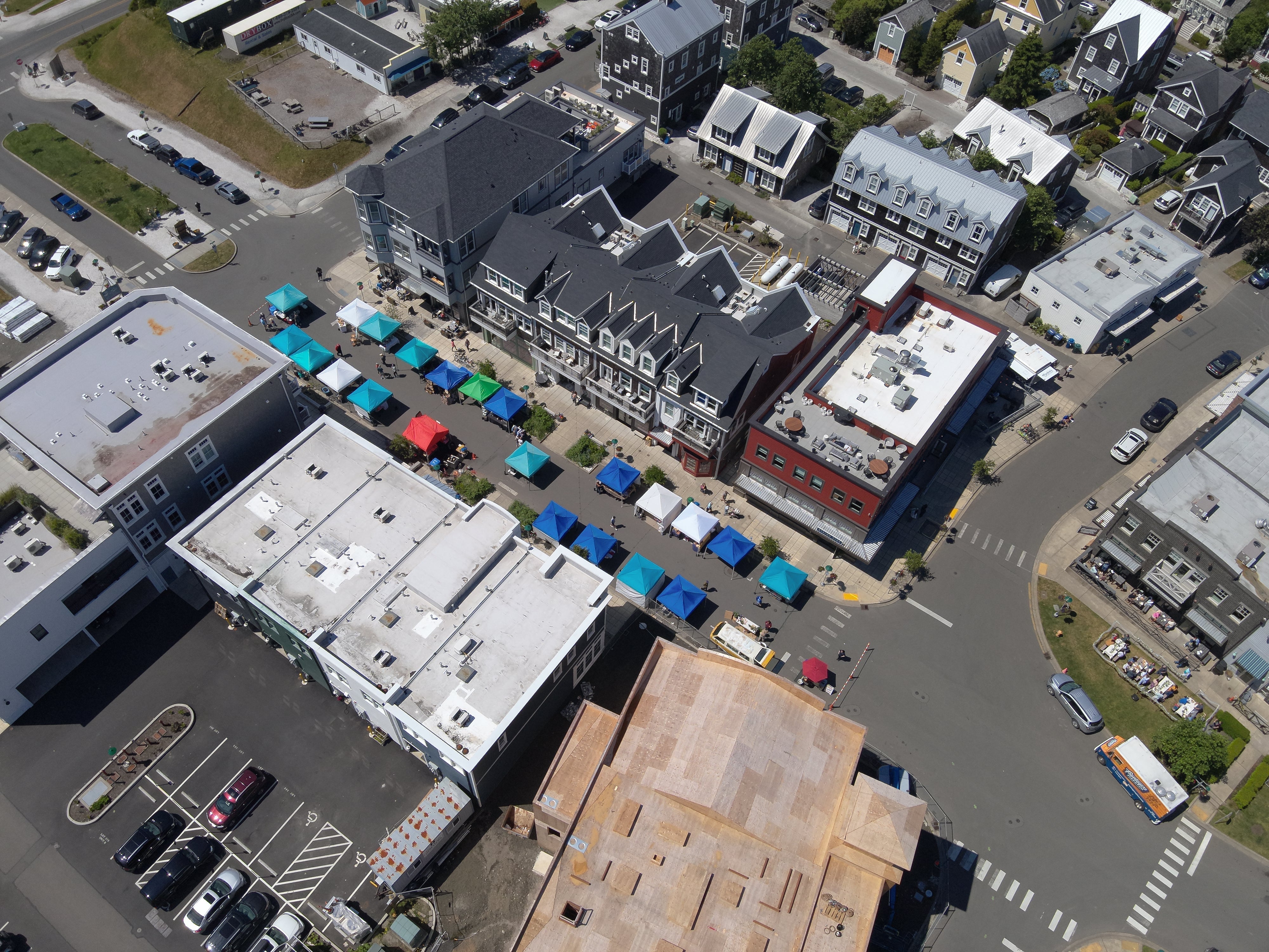
  • Real Estate Photography
  • Corporate Events
  • Promo Videos
  • Commercials
  • Documentaries
  • Cinema / Filming
  • Photo / Video Editing & Stitching
  • Image Processing & Analytics
  • Mapping Photos Processed to Create Orthomosaics, Digital Surface Models (DSMs), 3-D Models, and Point Clouds

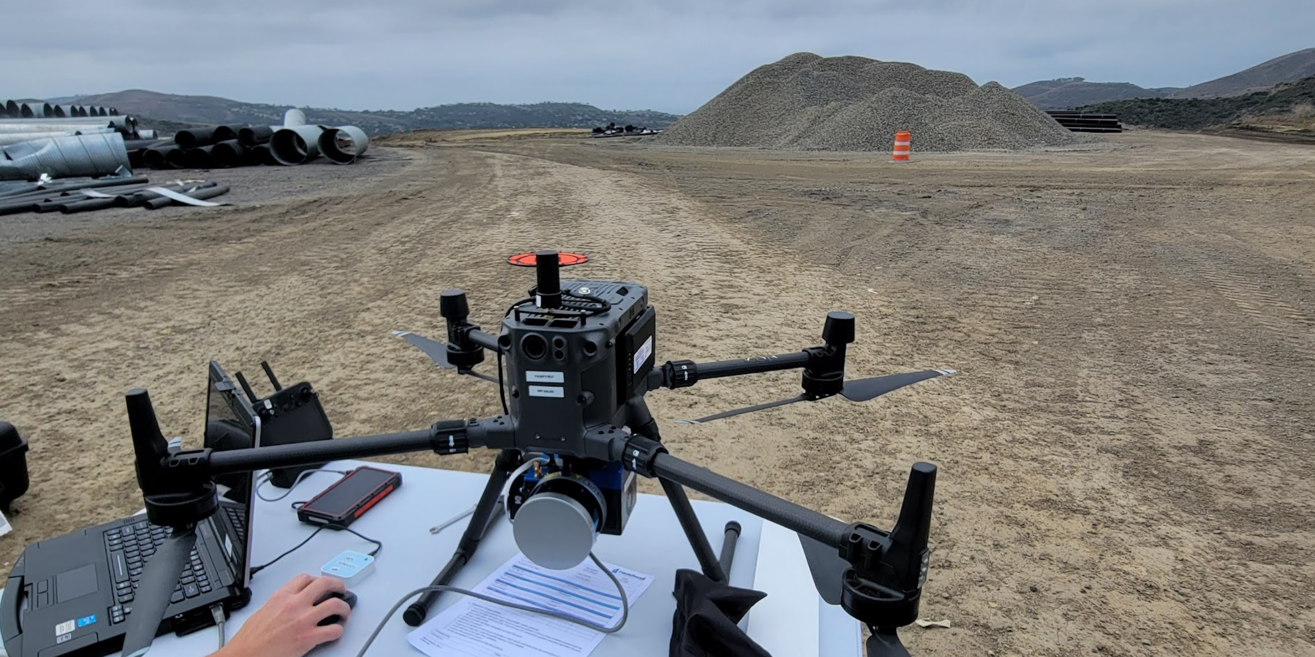
Equipment: We utilize the latest drone technology, including thermal imaging, photo/video, lidar, and mapping equipment for agriculture, surveying, and inspections.

Counting Services

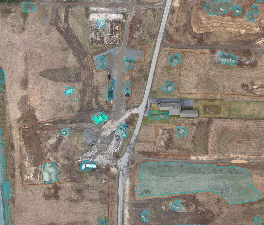
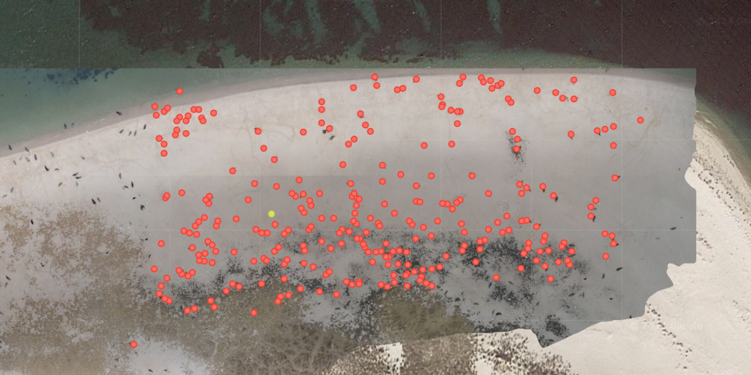
Counting items with drones is a modern, efficient, and accurate method that leverages advanced imaging and data processing technologies. It offers significant benefits in terms of efficiency, accuracy, cost-effectiveness, safety, and flexibility across various industries. As drone technology and computer vision algorithms continue to evolve, the capabilities and applications of drone-based counting solutions are expected to expand, providing even greater value and innovation in inventory and asset management.

Infrastructure Inspection

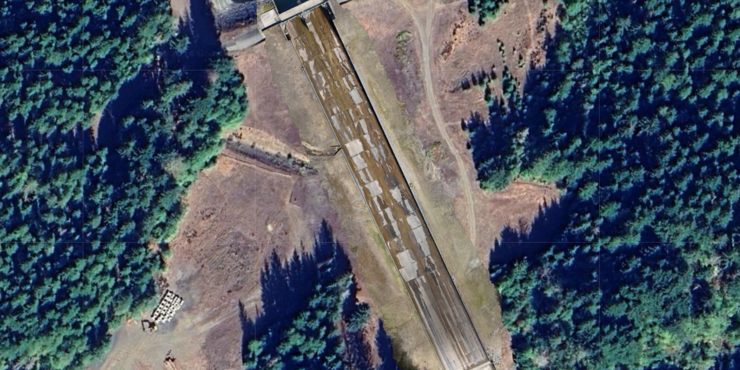
Drones offer a cutting-edge solution for infrastructure inspections, providing detailed, accurate, and efficient assessments of various structures. By leveraging advanced sensors and data processing technologies, drones enhance safety, reduce costs, and improve the overall effectiveness of inspection processes. As drone technology continues to evolve, their role in maintaining and monitoring critical infrastructure is expected to grow, offering even greater benefits to industries worldwide.

Environmental Monitoring

Drones offer a powerful and versatile tool for environmental monitoring, enabling detailed and efficient assessment of various ecosystems and environmental conditions. By leveraging advanced sensors and data processing technologies, drones provide high-quality, real-time data that enhances our understanding and management of the environment. As drone technology continues to evolve, their applications in environmental monitoring are expected to expand, offering even greater benefits for conservation, research, and sustainable development.